Ozarks Trip

Not the typical camping and hiking trip of Average Girl’s Adventures, but lots of outdoors stuff was seen on this trip that I’d like to highlight. I can’t claim any of the planning for the trip either, which was all thanks to my oldest brother who masterminded all of these great sights. This will be a long one, folks! Five days of travel included below!

Ozarks Trip

Missouri & Arkansas, USA

I’m loosely titling this post the Ozarks Trip because that ultimately was our destination, but we did stop and see a great many things along the way. Our trip started off with the long drive from southwest Wisconsin to Johnson’s Shut-In State Park located about two hours southwest of St Louis, MO.

All the rocks!

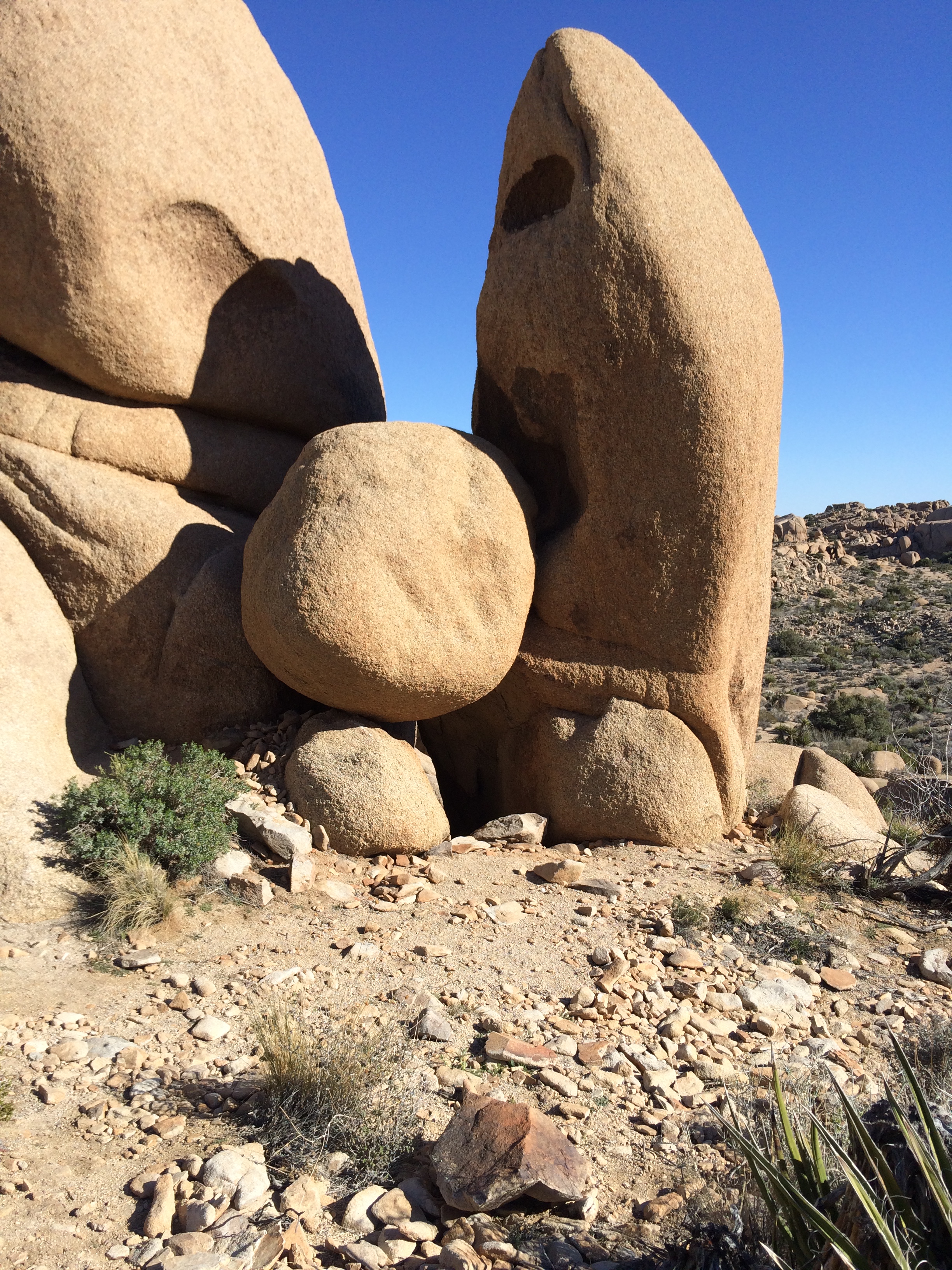
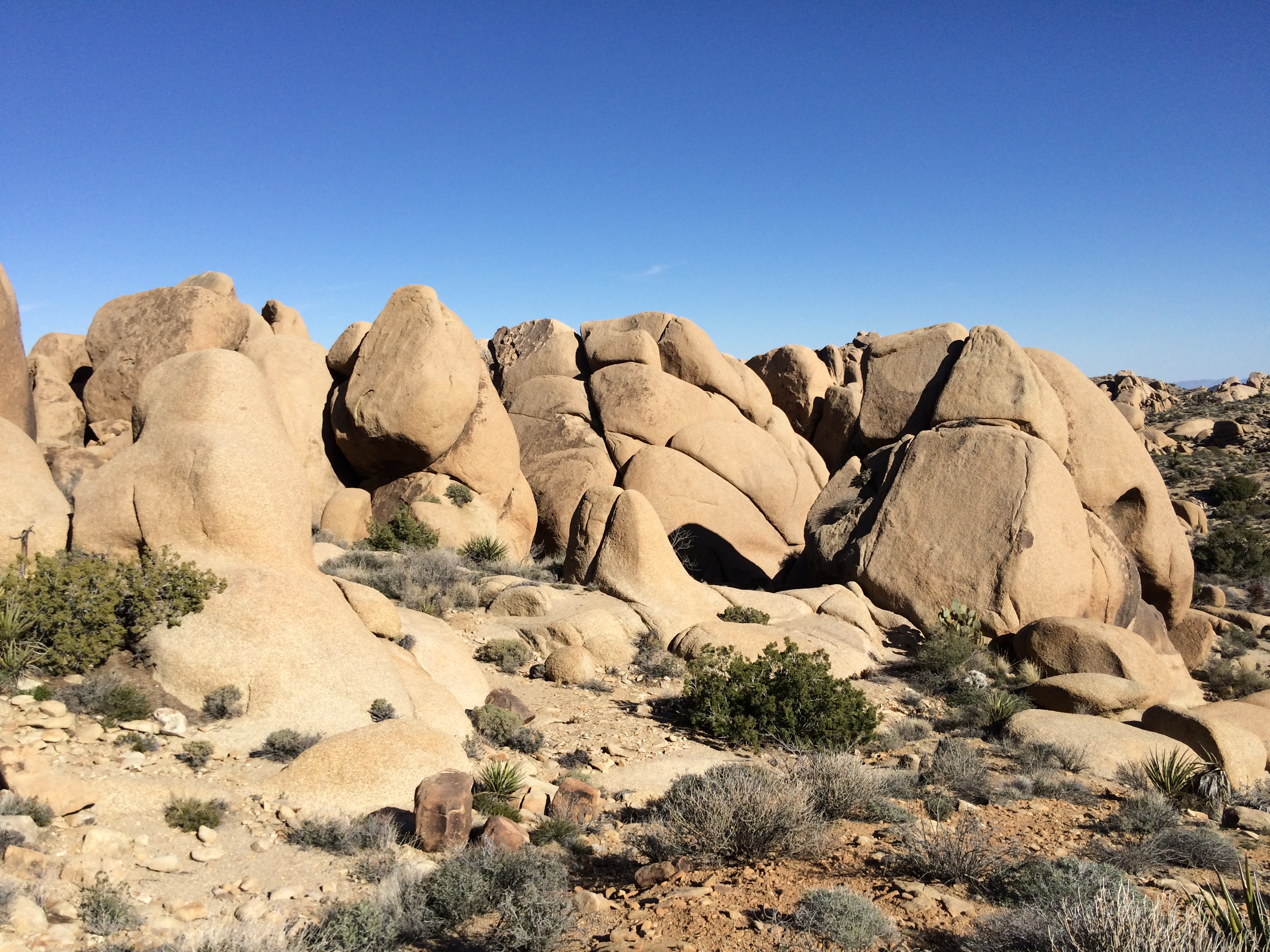
Along the drive we stopped at Elephant Rocks State Park, which is also in Missouri about 20 minutes away from Johnson’s Shut-Ins. This park is actually pretty small, but is a great pit stop along the drive and offers a great photo opportunity as there are some HUGE rocks. Even though it was raining, we got out and walked around for at least 45 min. There is a hiking trail around one section that is paved, if scrambling on rocks isn’t ideal. In nicer weather this would be a good place to stop and eat a picnic lunch and stretch your legs as there were plenty of picnic tables around.

Cliff overlooking a pond at Elephant Rocks

From there we drove the last miles to Johnson’s, it was later in the day at this point, so we just went directly to our cabin at the park. Yes, *gasp*, we stayed in a cabin instead of a tent! Given all the moving around we were going to be doing, it didn’t make sense to set up and tear down a campsite each night. This was my first time staying in a cabin at a state park before and Johnson’s offers six of them. While they aren’t the most secluded option, there were a nice and convenient option.

The shut-ins which look more dramatic when the water levels aren’t so high

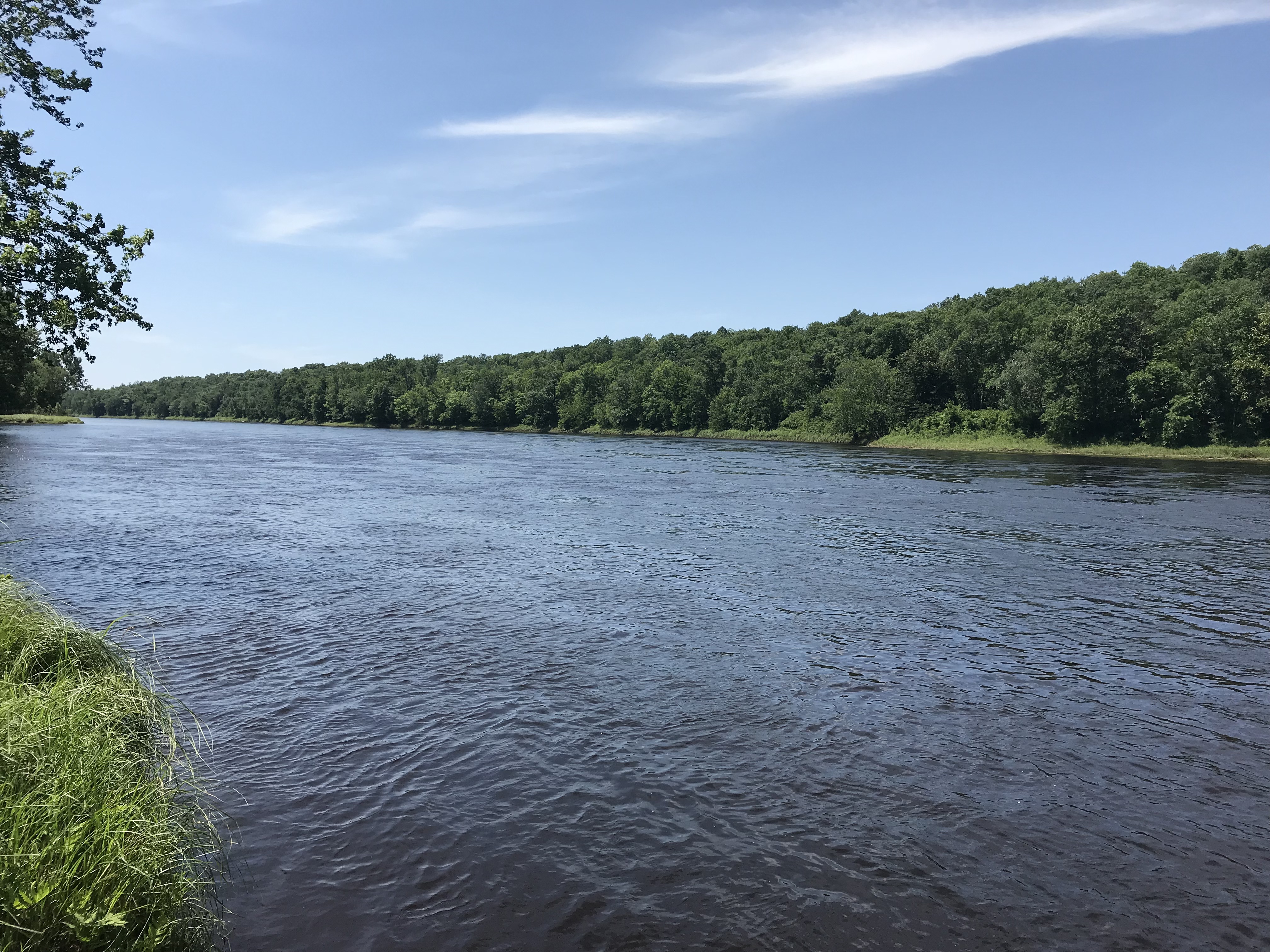
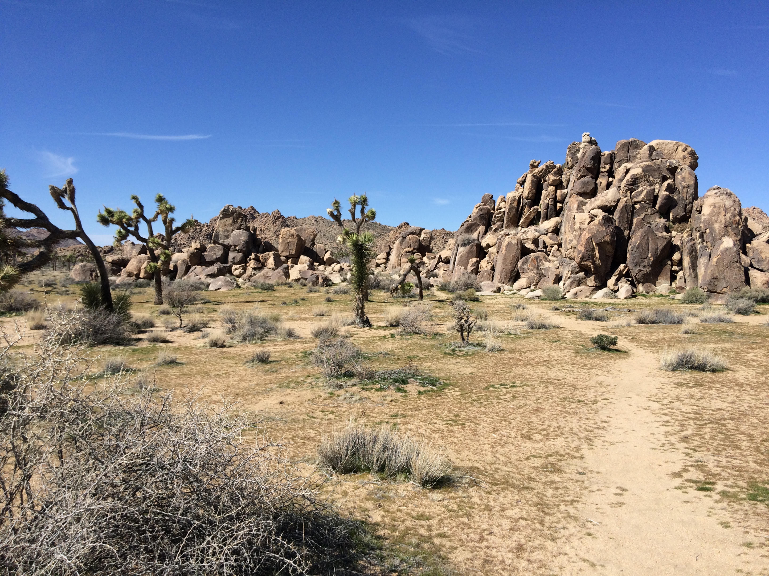
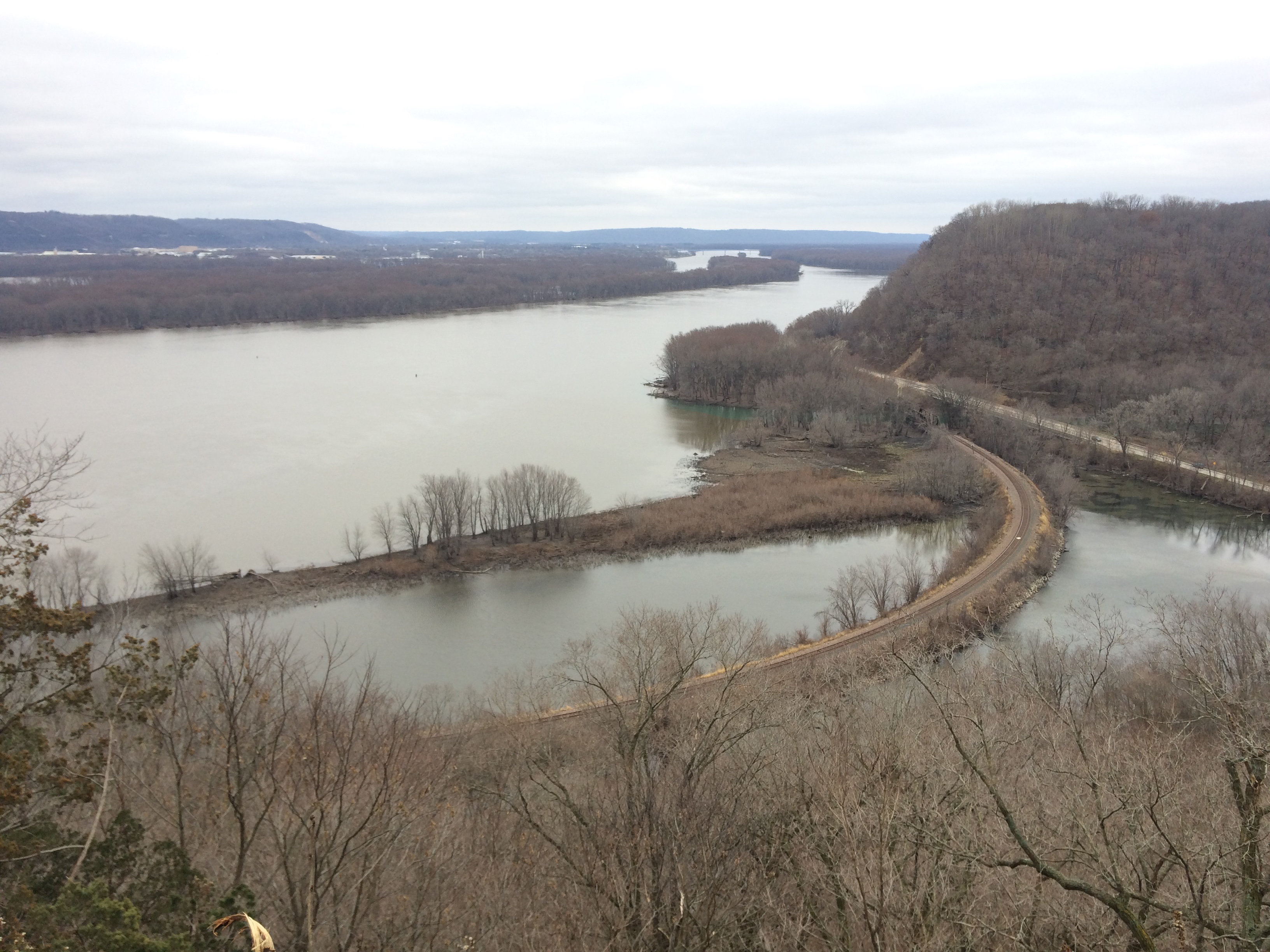
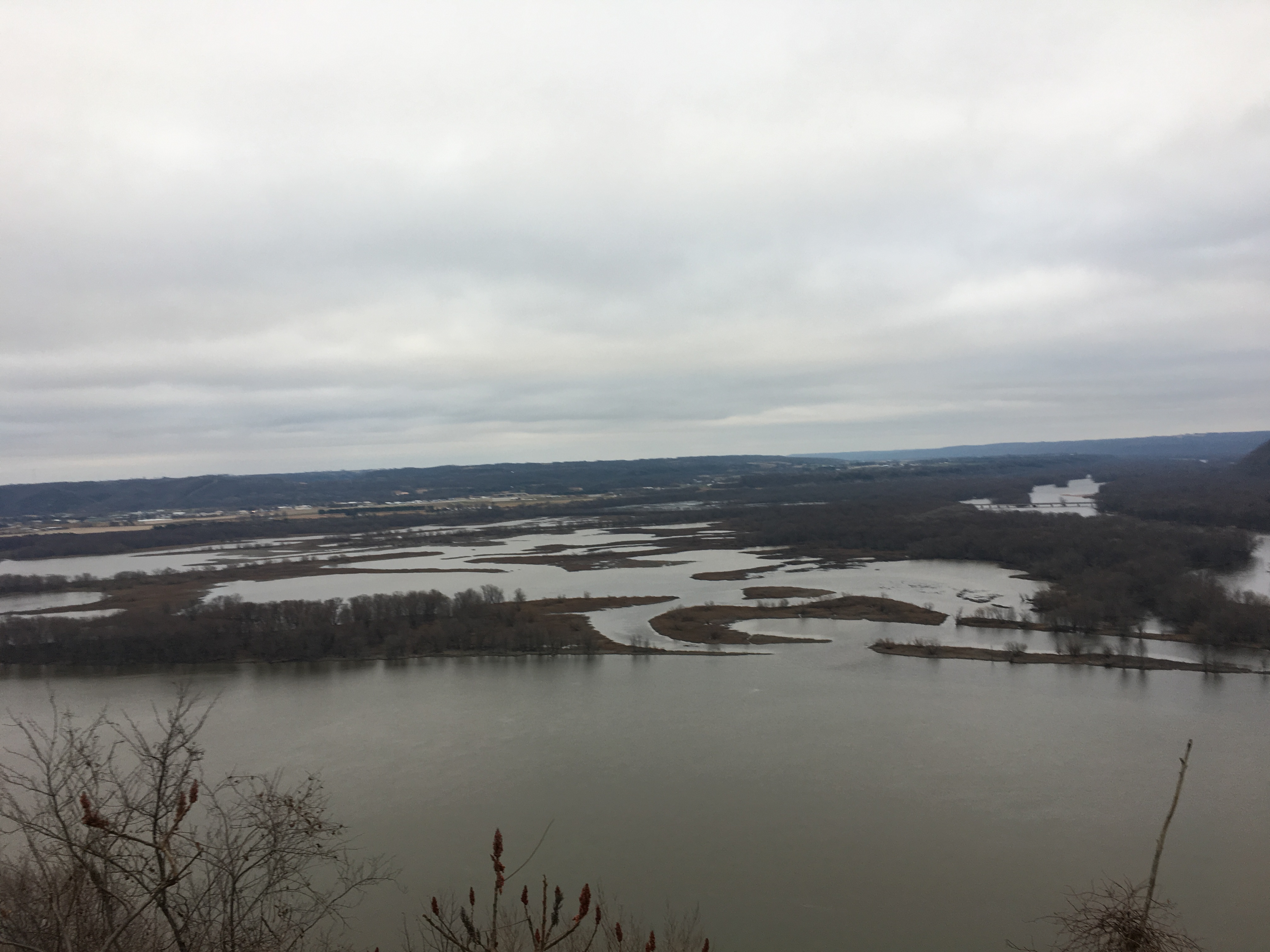
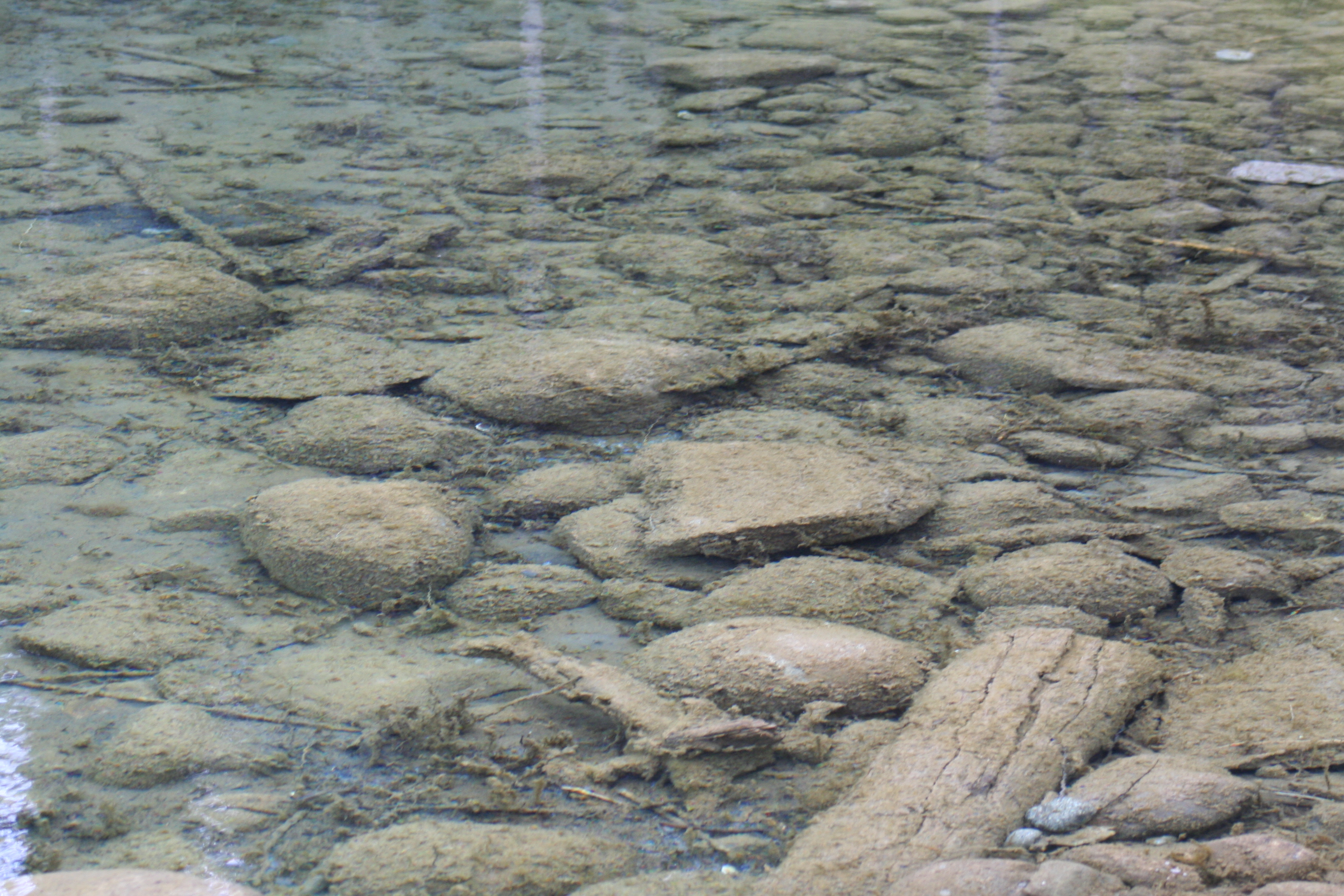
The next morning before moving on we walked part of the Shut-Ins trail in the park, which gives view to the namesake features in the park plus the East Fork of the Black River that runs through the park. The trail is a 2.3 mile loop, part of which is a gentle boardwalk, the other part is a more rugged climb. We opted only to walk the boardwalk because all the rain the area had been receiving had made things soggy and the river was raging. The boardwalk only took about 30 min there and back from the parking area and then we were on our way to the next destination!

Mammoth Spring fed lake

Along the drive we stopped at Mammoth Spring State Park, which was another small park, but a great mid-drive stop. It is right along the border of Missouri and Arkansas and is located in the middle of the aptly named town Mammoth Spring. It was a nice sunny afternoon and it was a good place to stop, eat lunch, and walk around the spring fed lake in the park.

First views from Mt. Nebo – BF for scale

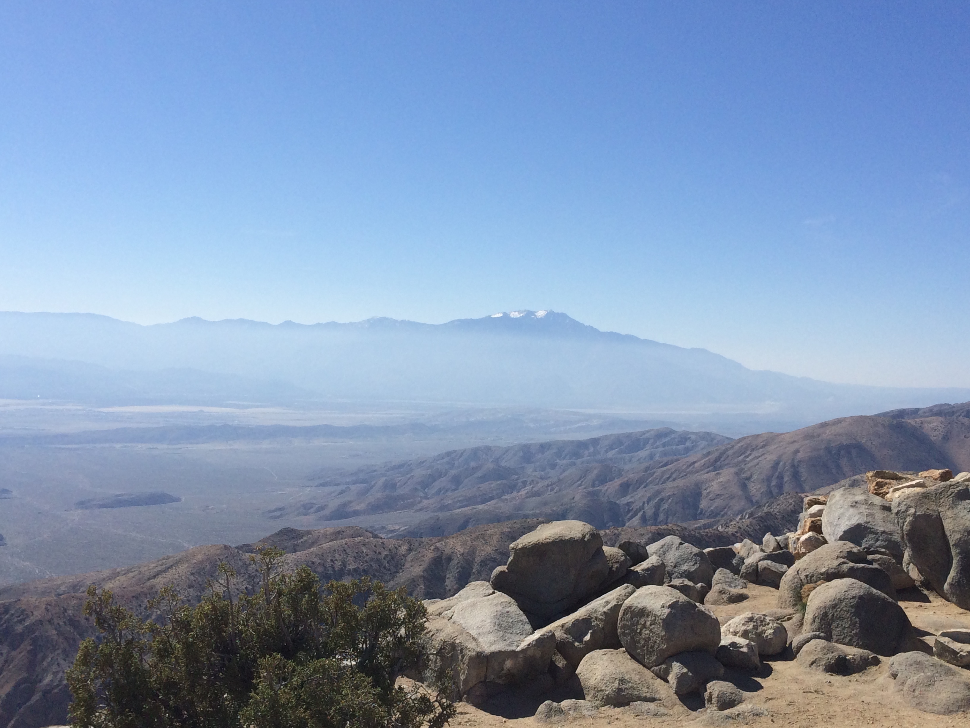
The total drive was about six hours to get to Mt. Nebo State Park, which is ~1 hour 20 min northwest of Little Rock, AR. This park was our home-base for two days and boy was it ever nice to stay there. We stayed in another camper cabin, but a rustic CCC camp cabin that was quite spacious, and did I mention the park is on top of a mountain? We’re not talking Alaska mountains, but I’m from the midwest, we’ll take what we can get when it comes to elevation.

One of the springs along the walkway in town

The next morning we decided to head down to Hot Springs National Park, which was only ~1 hour 30 min south. We debated going to another park in the area, but opted for Hot Springs instead because it was maybe going to rain again and there are plenty of indoor and outdoor sights at Hot Springs. The town of Hot Springs is quite the tourist trap and was much busier than we prefer, but since the springs are in the middle of town we had to check them out. The National Park Service does a good job of providing signage and free attractions in town, so you don’t end up spending all of your money.

Along Goat Rock trail

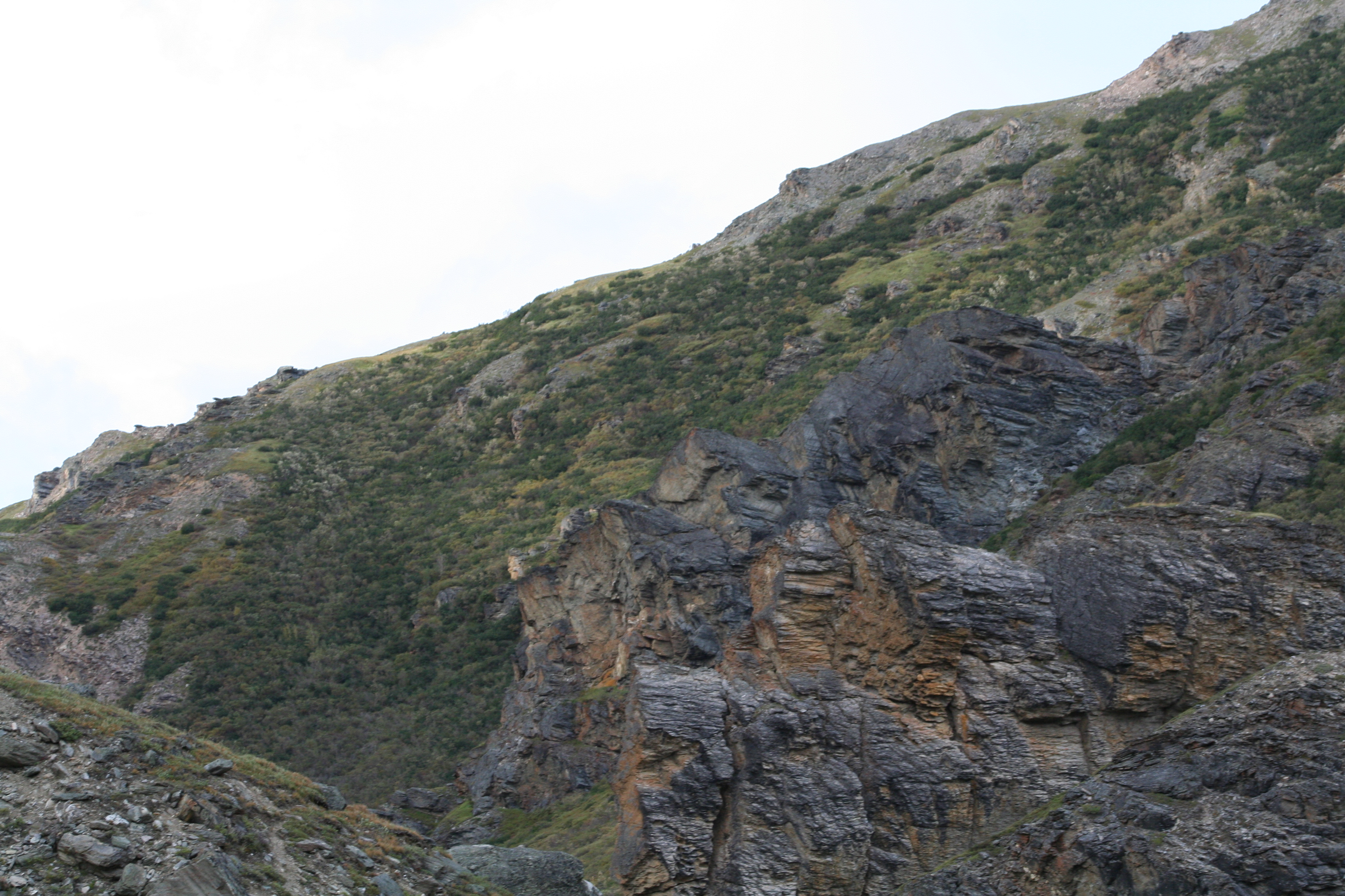
After checking out the town, we decided to go on a hike before heading back to Mt. Nebo. I believe we hiked the Goat Rock Trail, which is a 1 mile loop almost near the top of North Mountain. There is a short connecting trail via Gulpha Gorge Trail. It was a short hike with a few ups and downs, but nothing too strenuous, which was appreciated after we had been walking on sidewalks all day.

Overlook from the trail

On the drive back to the cabin we stopped in Ouachita National Forest at the South Fourche picnic area, which separates Hot Springs and the Mt Nebo area. This was another nice picnic area that provided an opportunity for us to stretch our legs, use the facilities, and check out another body of water – this time the South Fourche River.

Great scenery at the picnic area

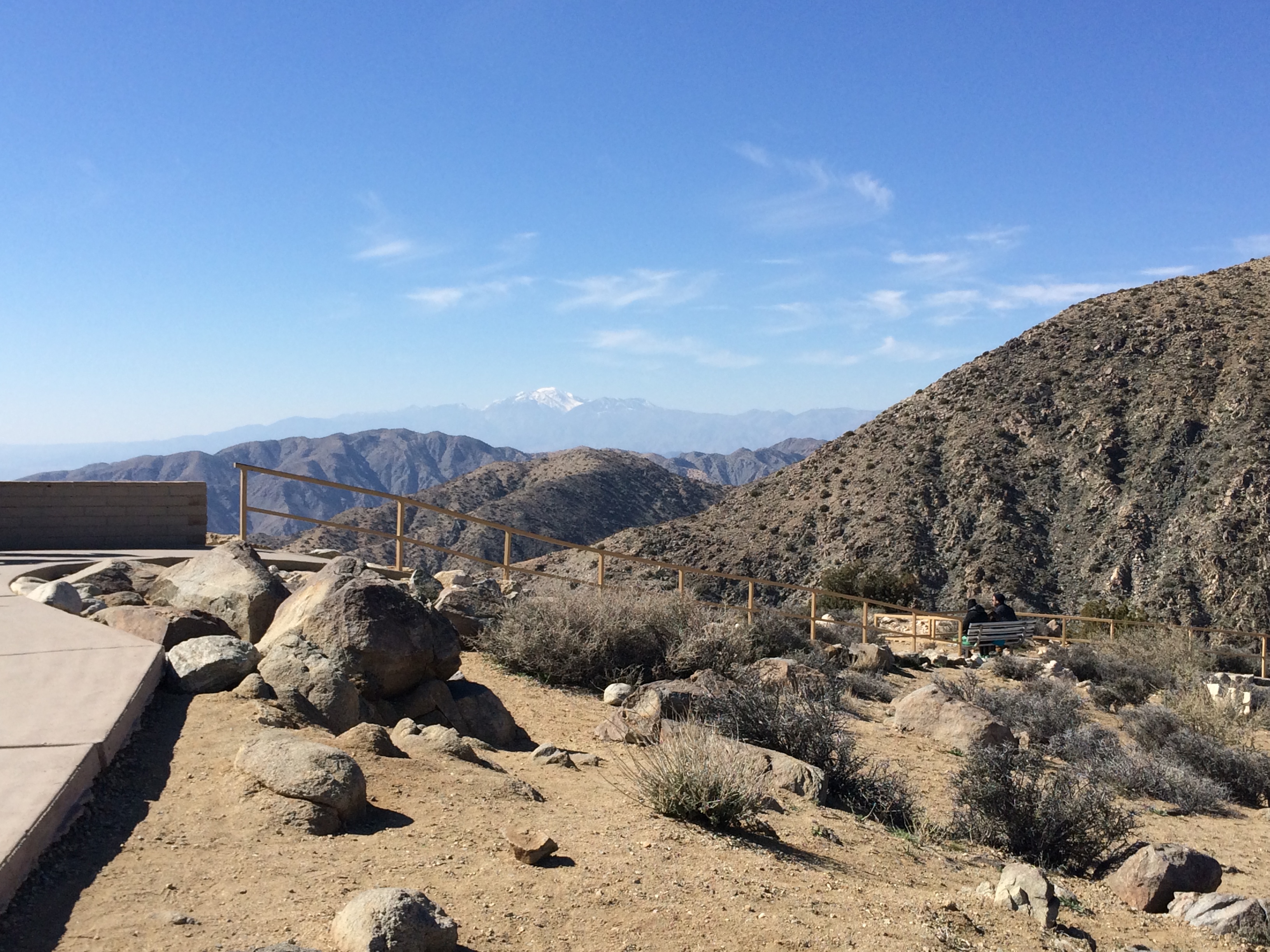
After a short stop we drove the remaining miles to Mt. Nebo, we had a few hours of daylight left so we walked some of the Rim trails in the park that circle the top of the mountain. We were making dinner at the cabin that night, so we drove to the sunset overlook and watched the sunset before making our dinner and relaxing on our last night in the beautiful cabin.

Along the Rim trail

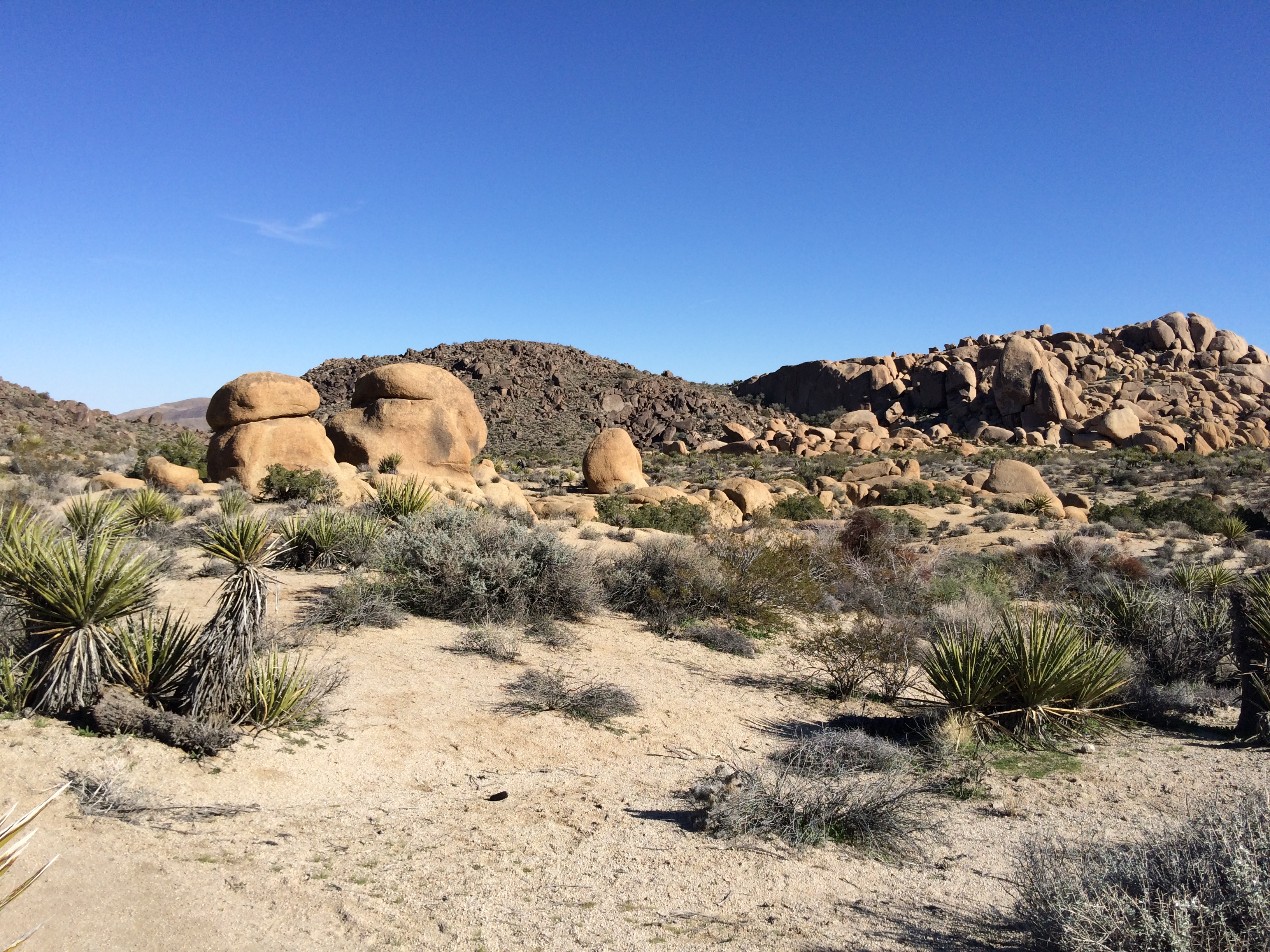
The next day started the drive home, we had one more cabin to stay at, but we’re headed northwards. Our first stop along the way was at the Lost Valley trail in the Buffalo National River in Arkansas about two hours north of Mt. Nebo. The trail is 2.3 miles long and is a fairly easy hike with lots of scenic views like rock formations, streams, waterfalls, and a cave. This trail was pretty busy and you could tell it was a popular hike with the locals from the area.

One of the many rock formations at Lost Valley

We then continued our drive to Ha Ha Tonka State Park in Missouri, which was ~ three hours north. We walked around this park for the remainder of the afternoon, checking out the “castle” in the park and natural bridge formations. This seemed like a great park to spend the weekend as it connected to Lake of the Ozarks for water options and there were also plenty of hiking and other attractions to keep you busy.

The “castle”

I can’t even say where the cabin was that we stayed that night, but all I remember was it was a long back road drive to those cabins and we just crashed there for the night. The next day was the rest of the drive home, which was ~seven hours from Ha Ha Tonka. We were all happy to get out of the car that night after the long drive!

Until next time!

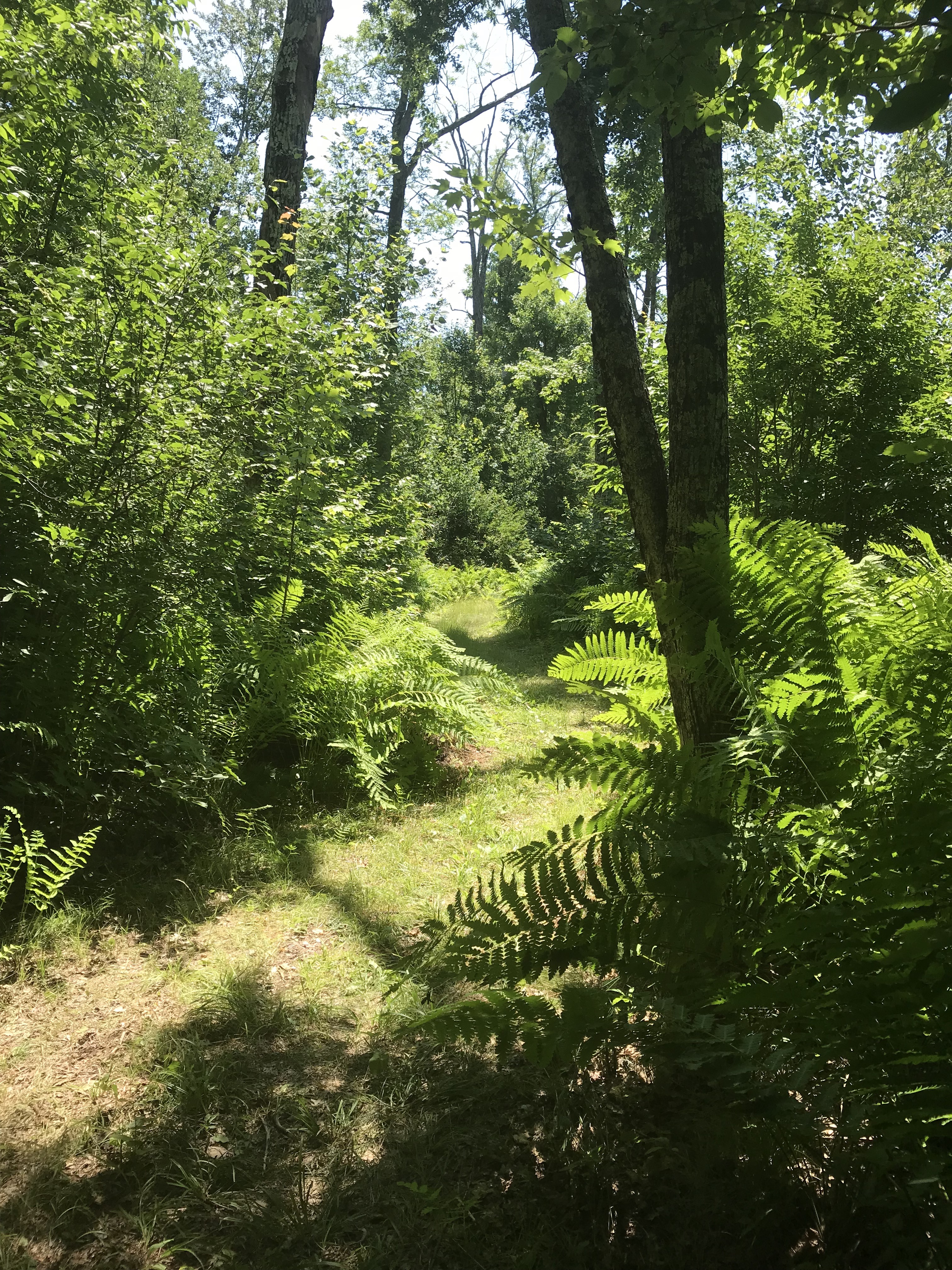
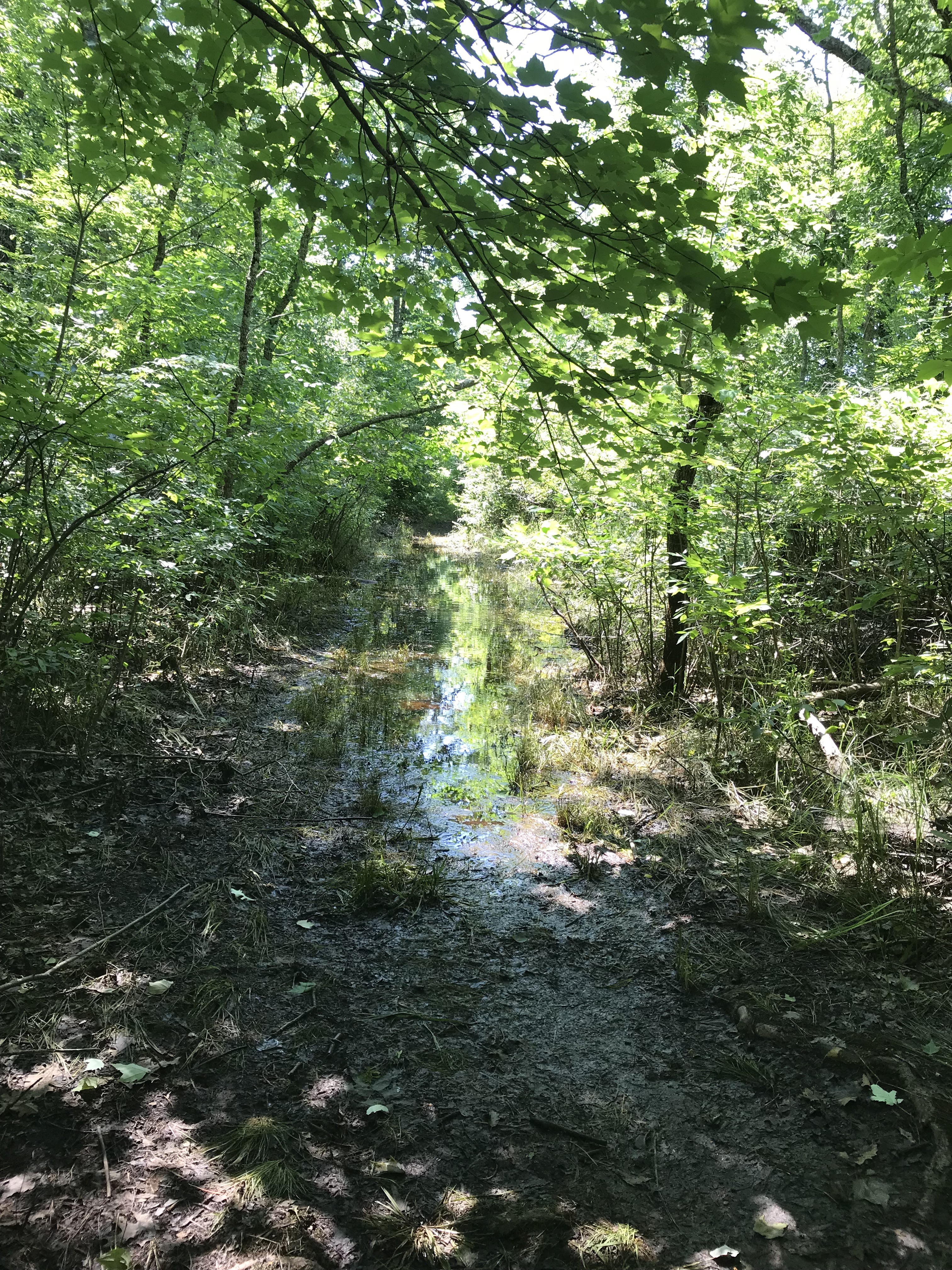
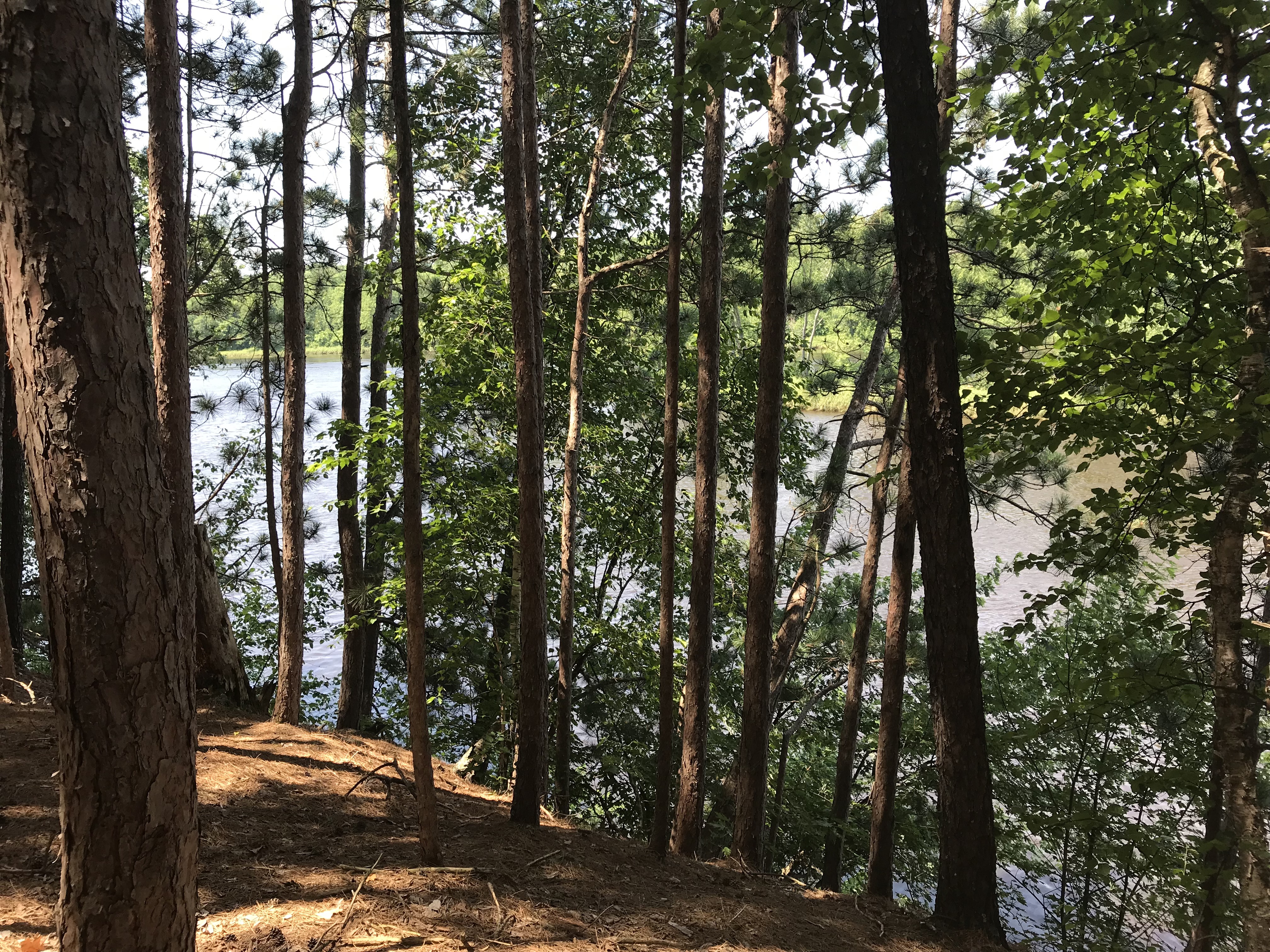
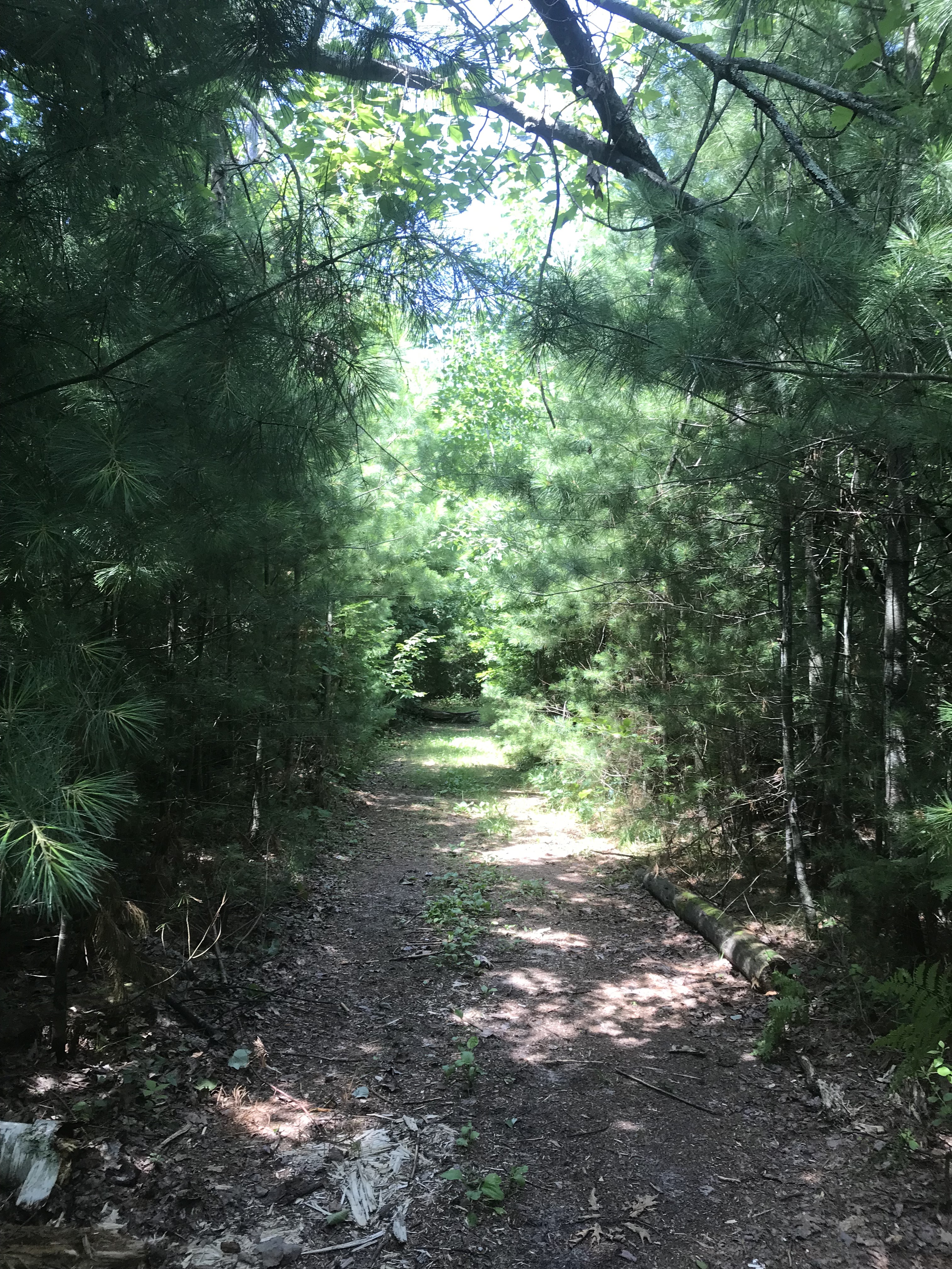
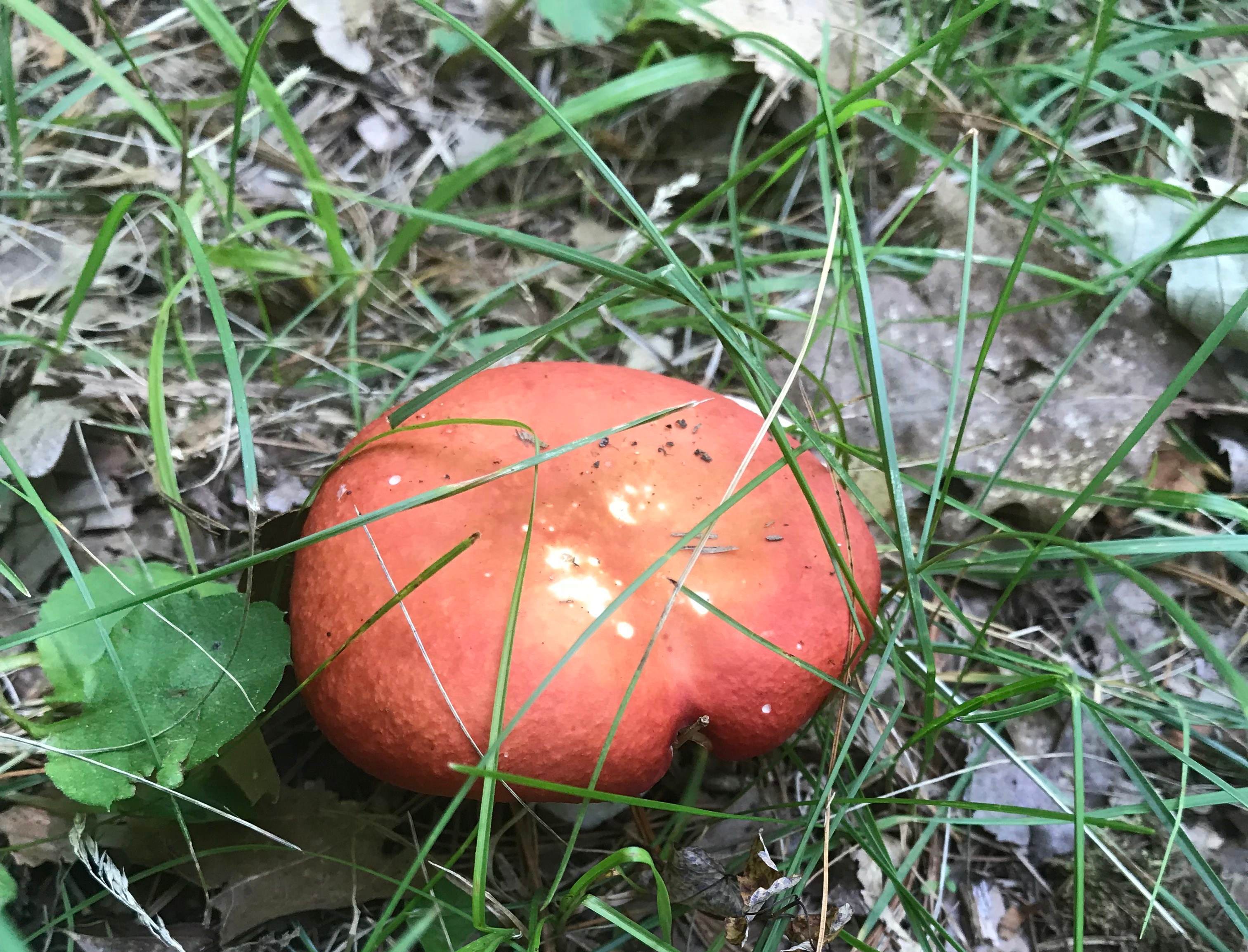
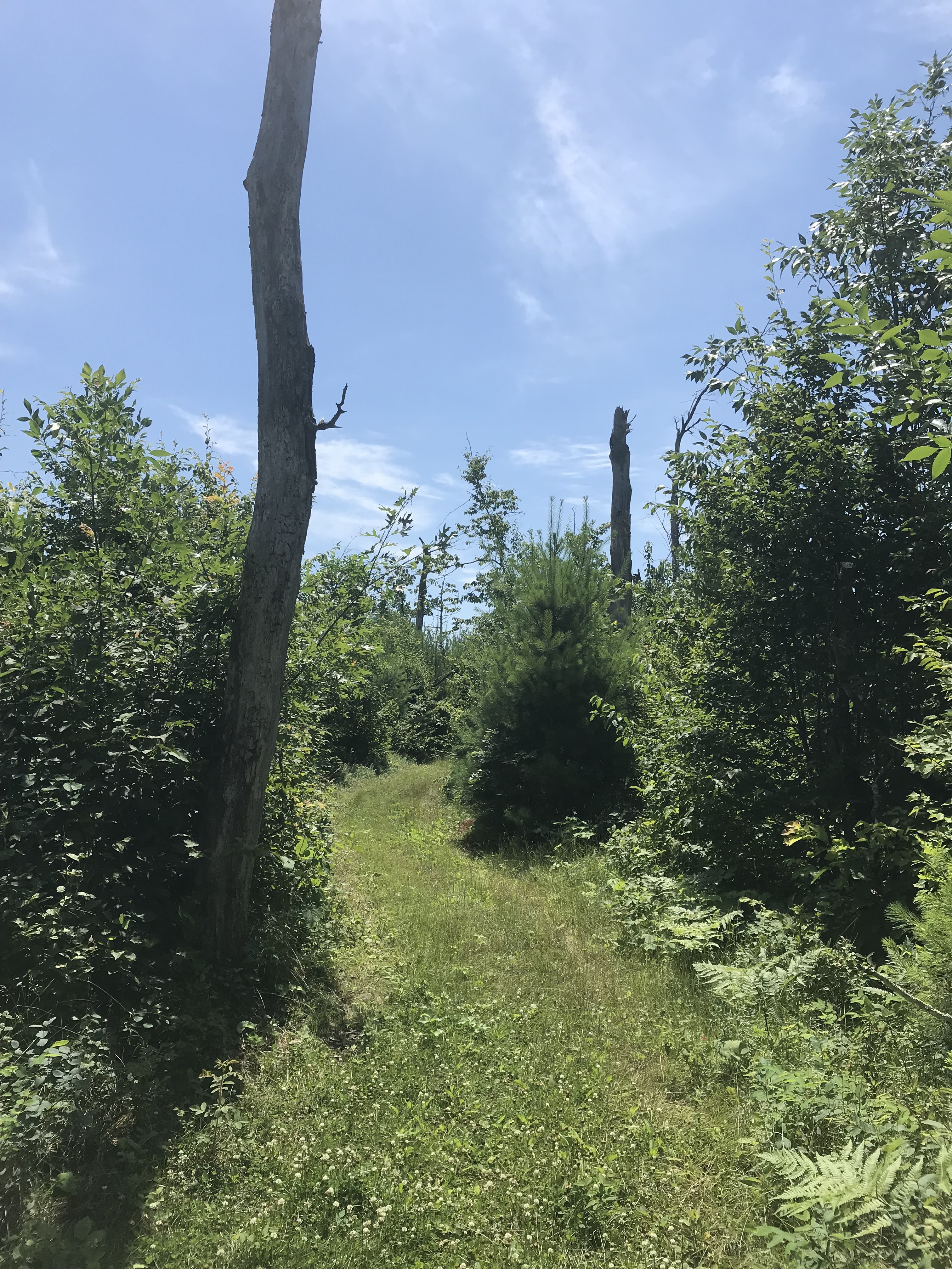
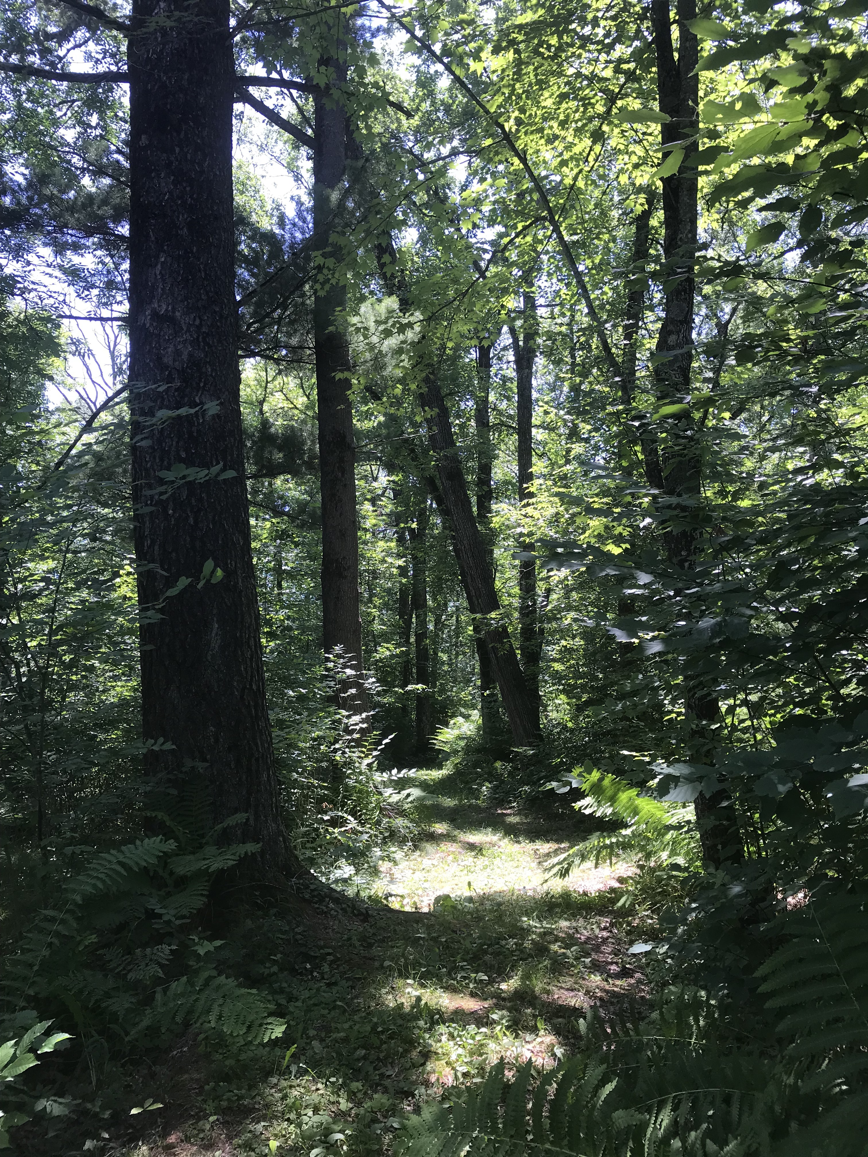
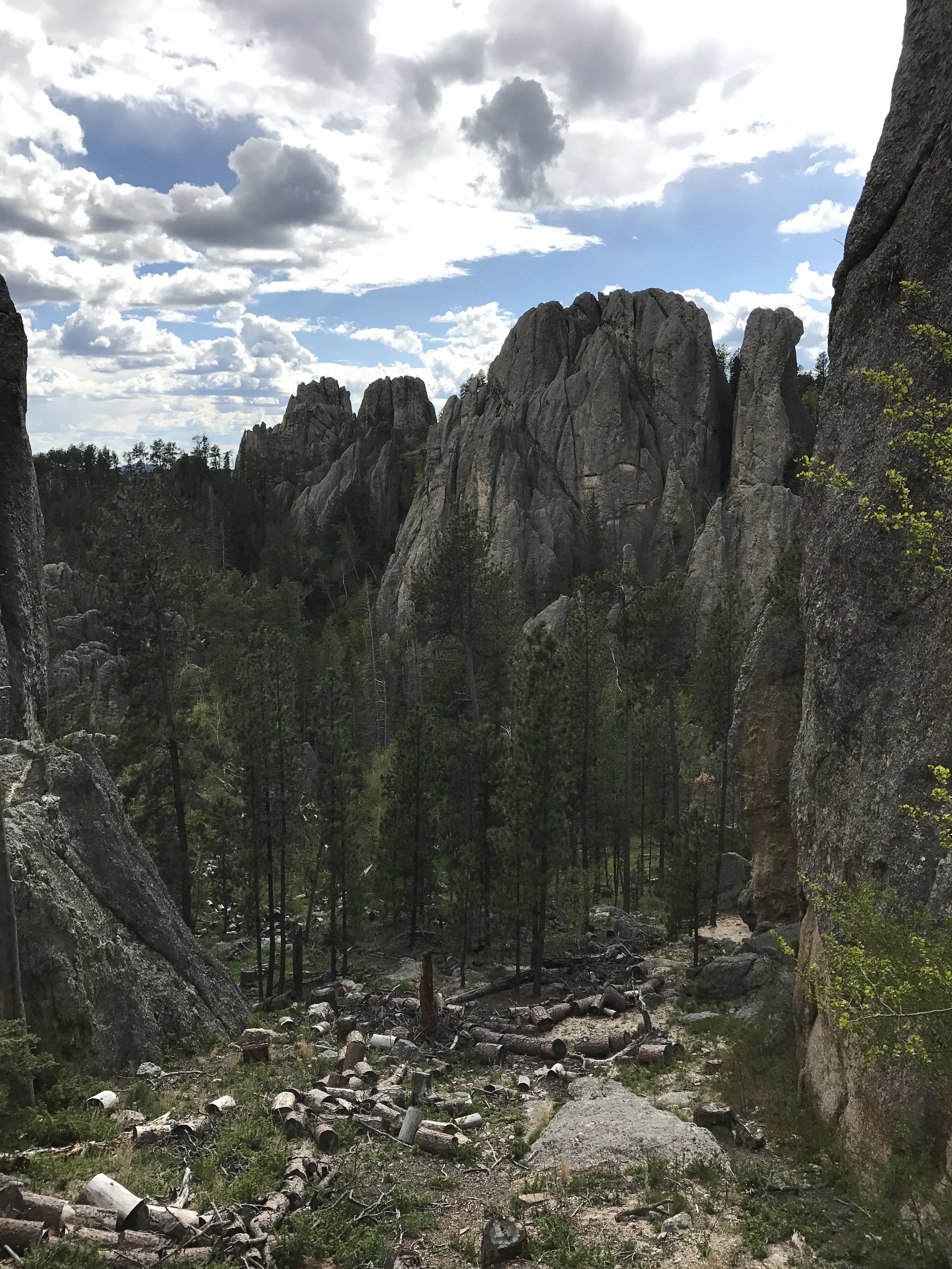
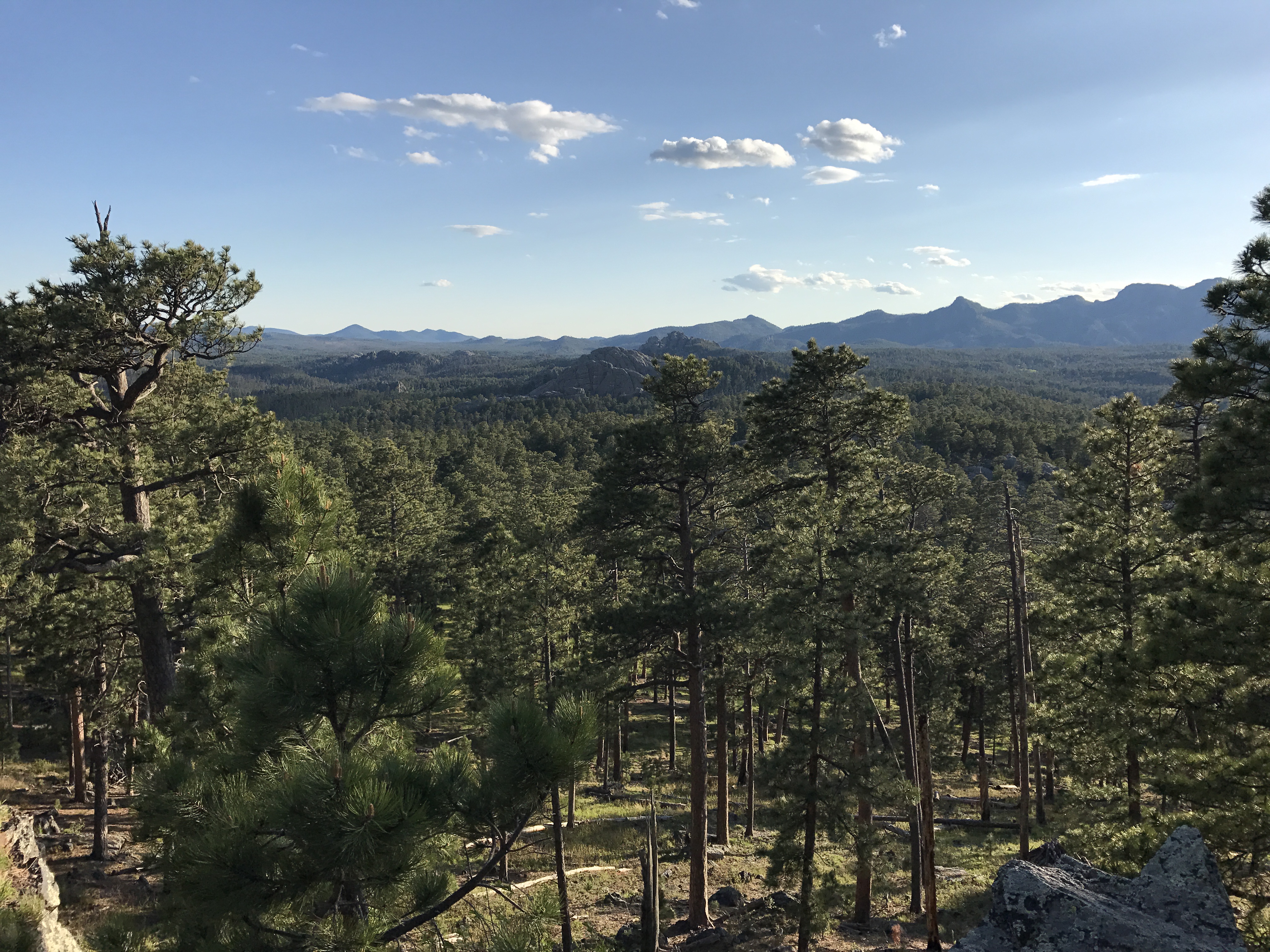
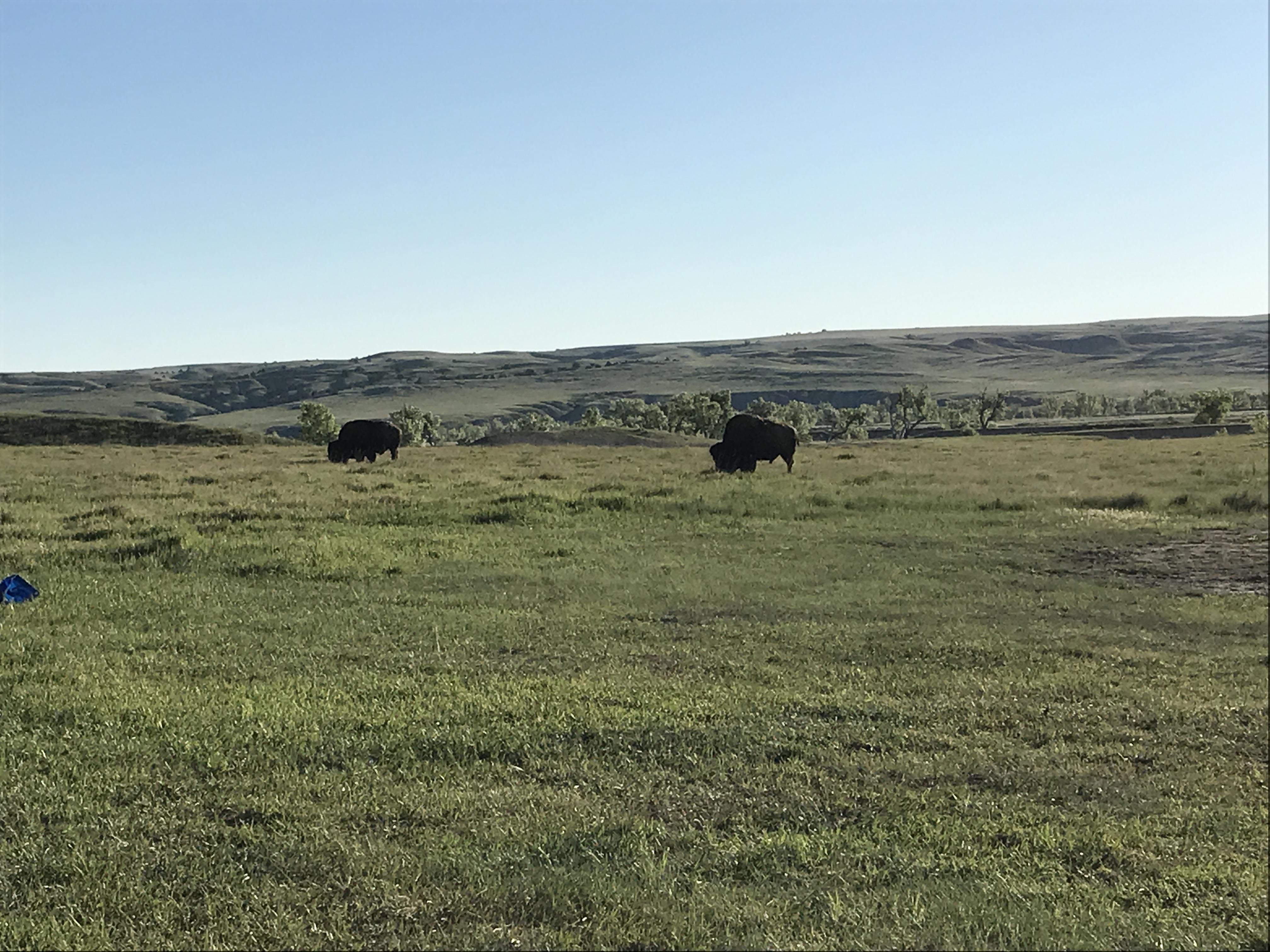
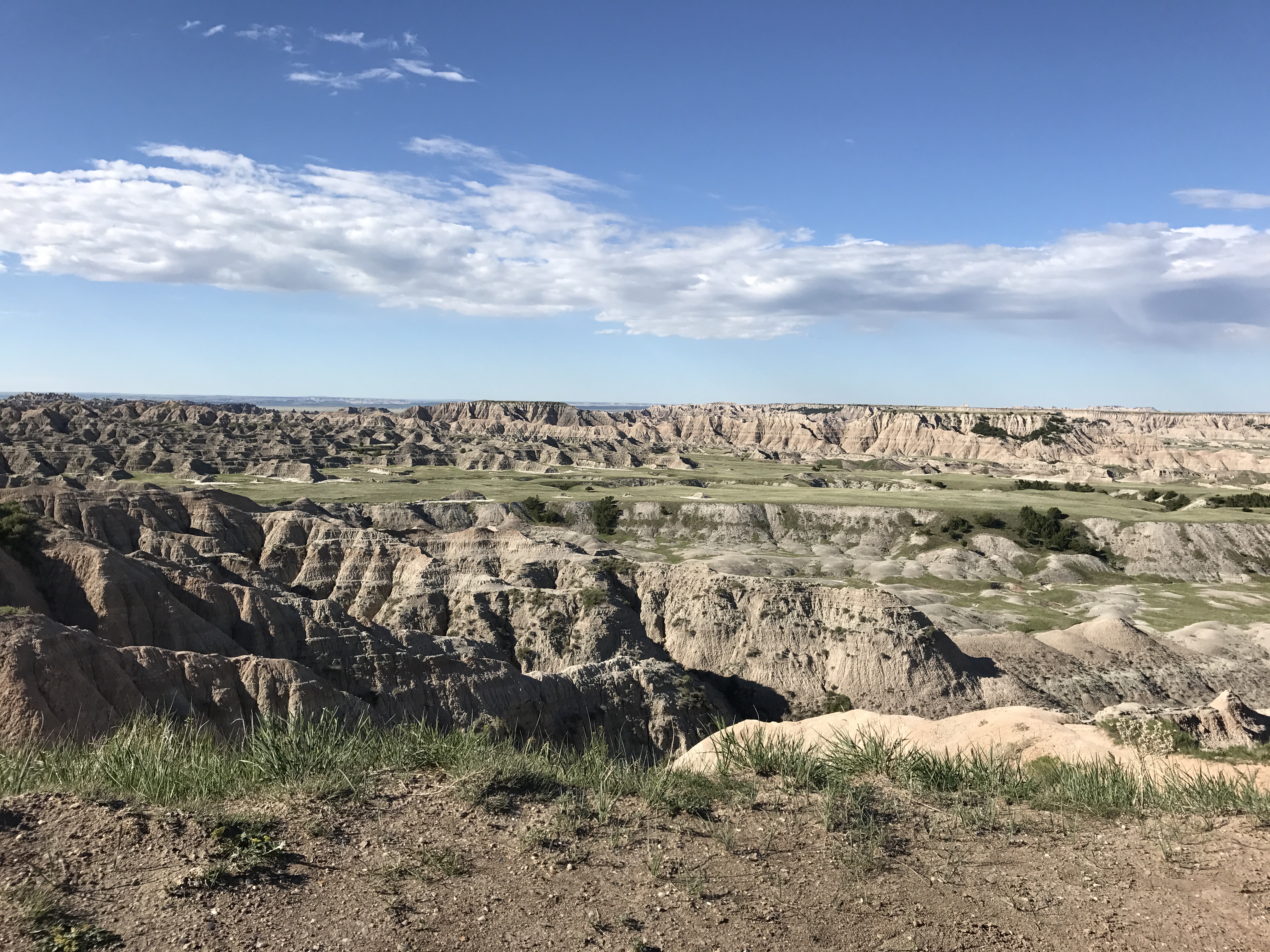
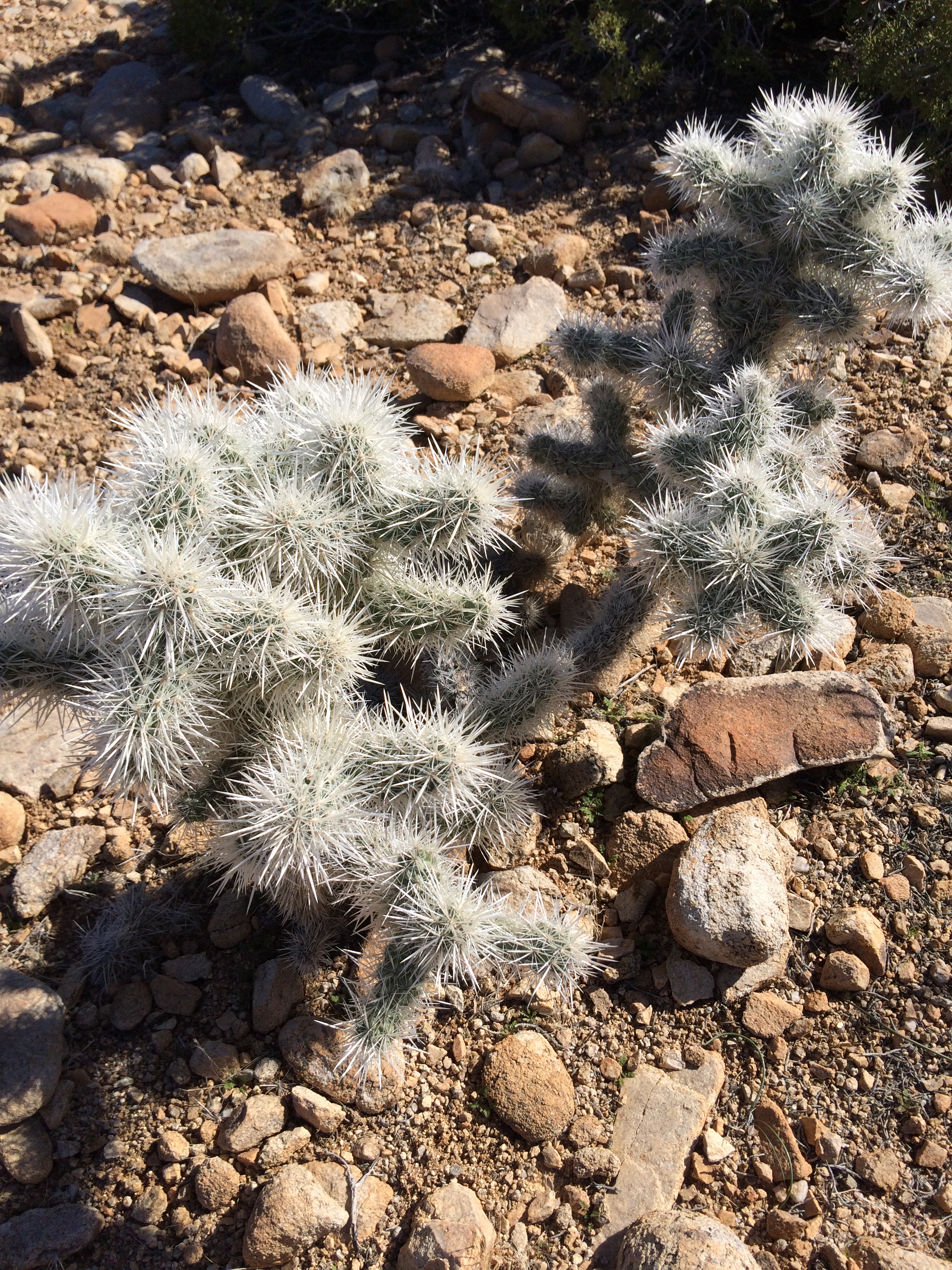
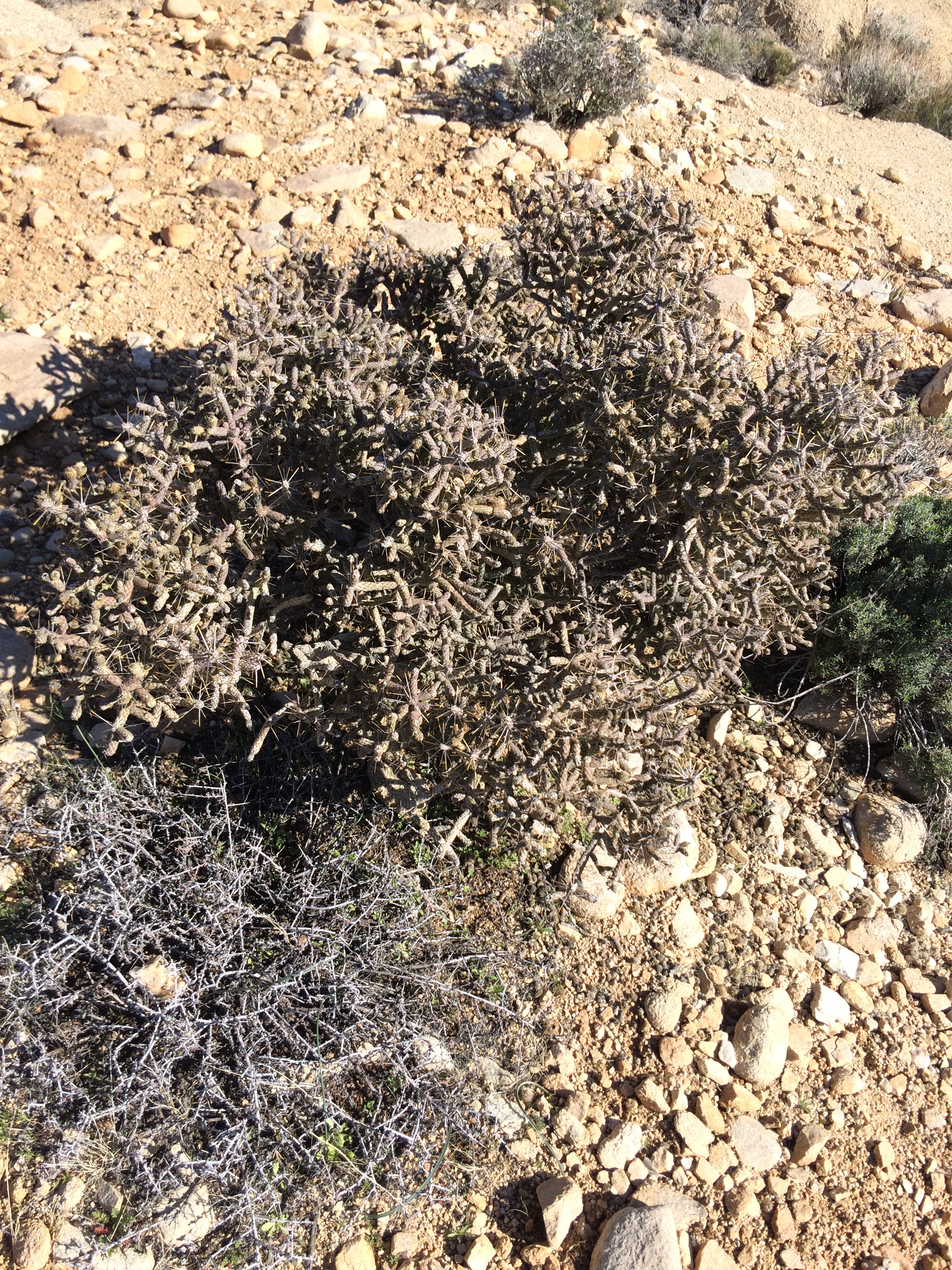
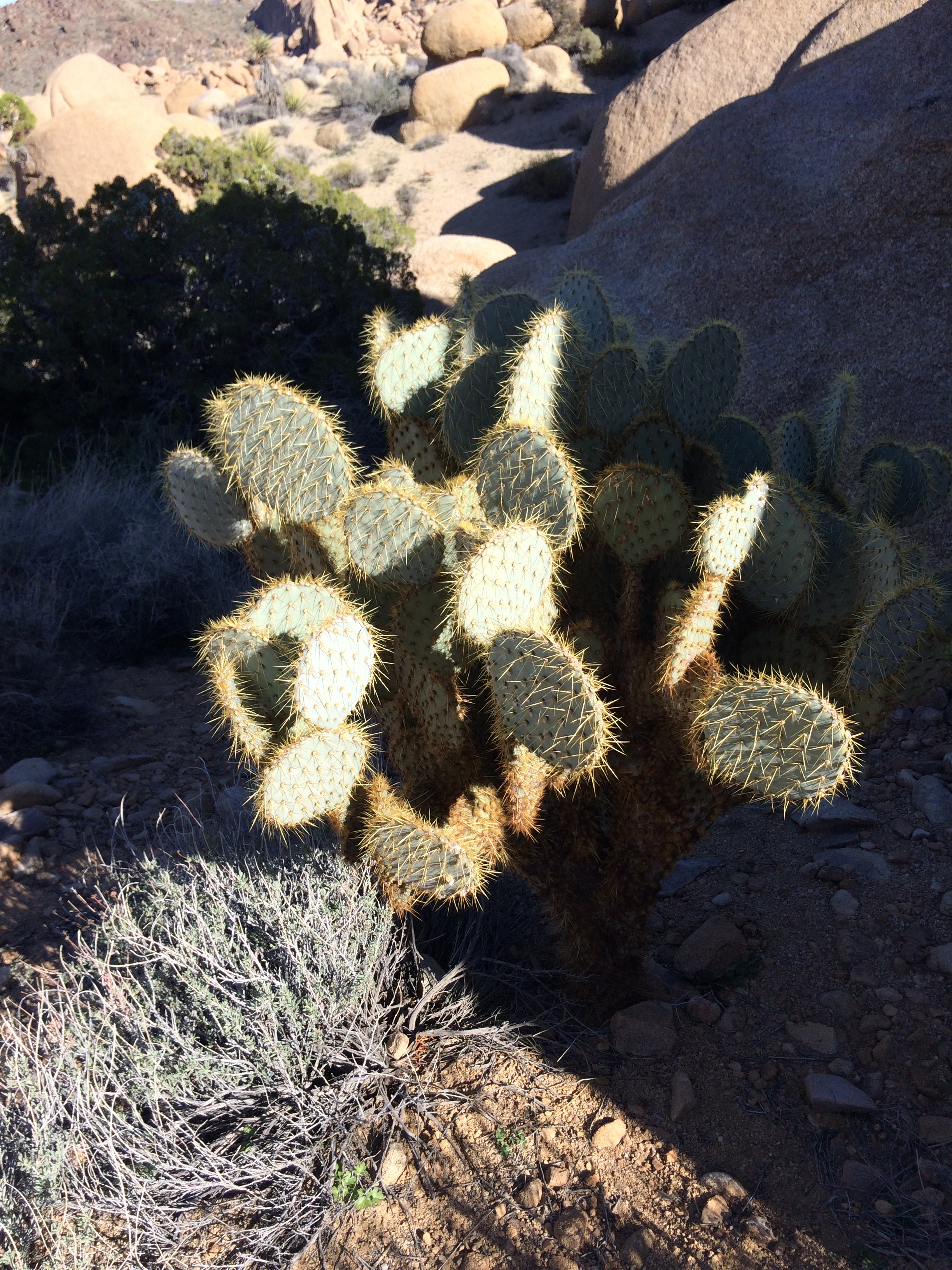
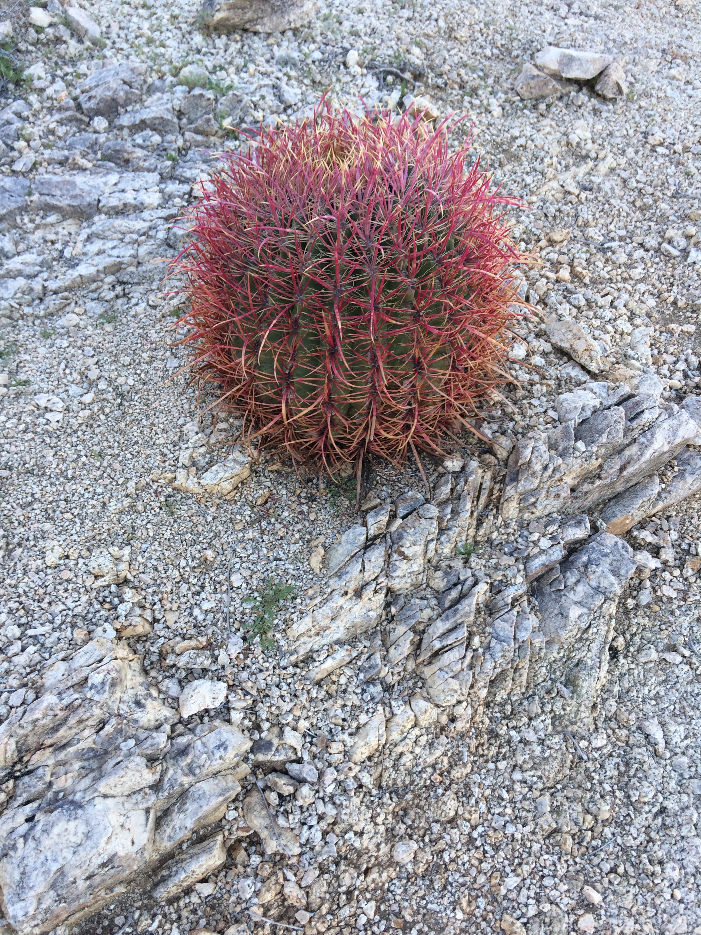
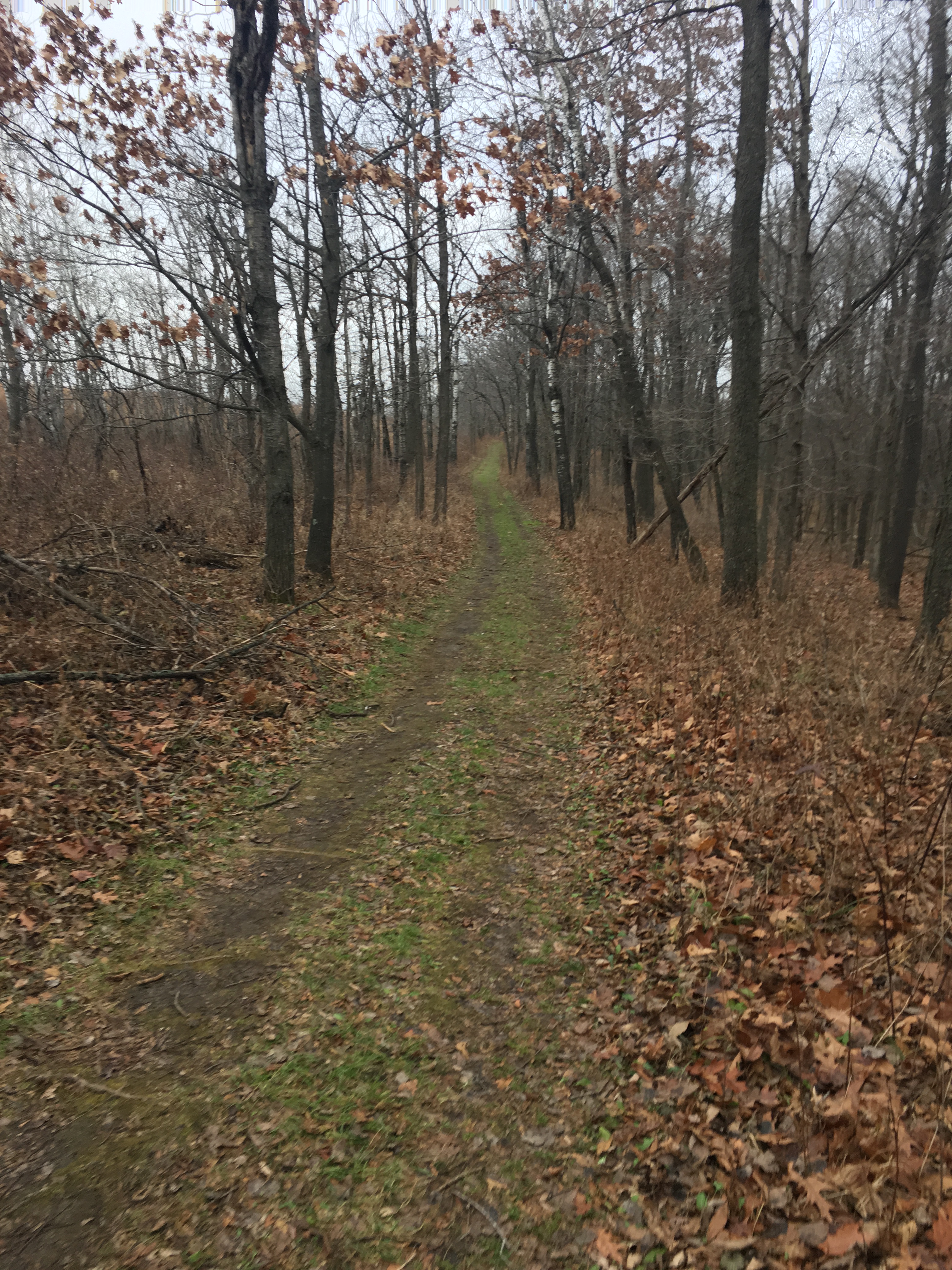
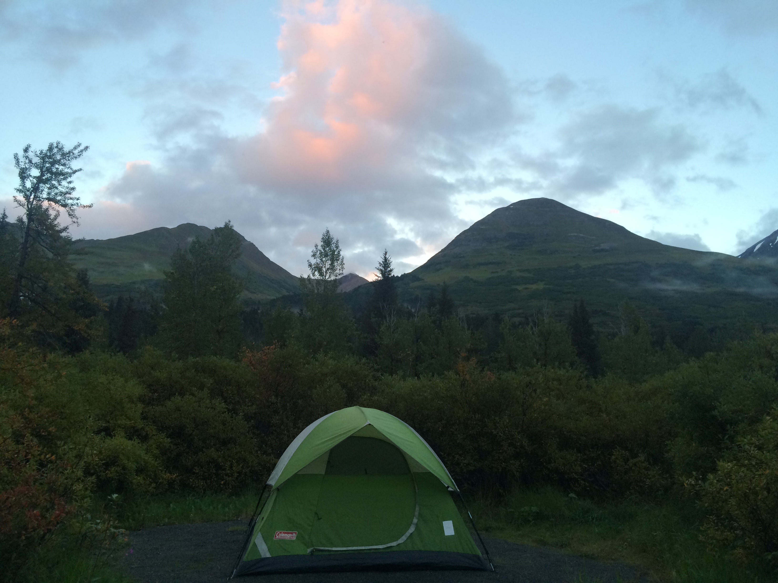
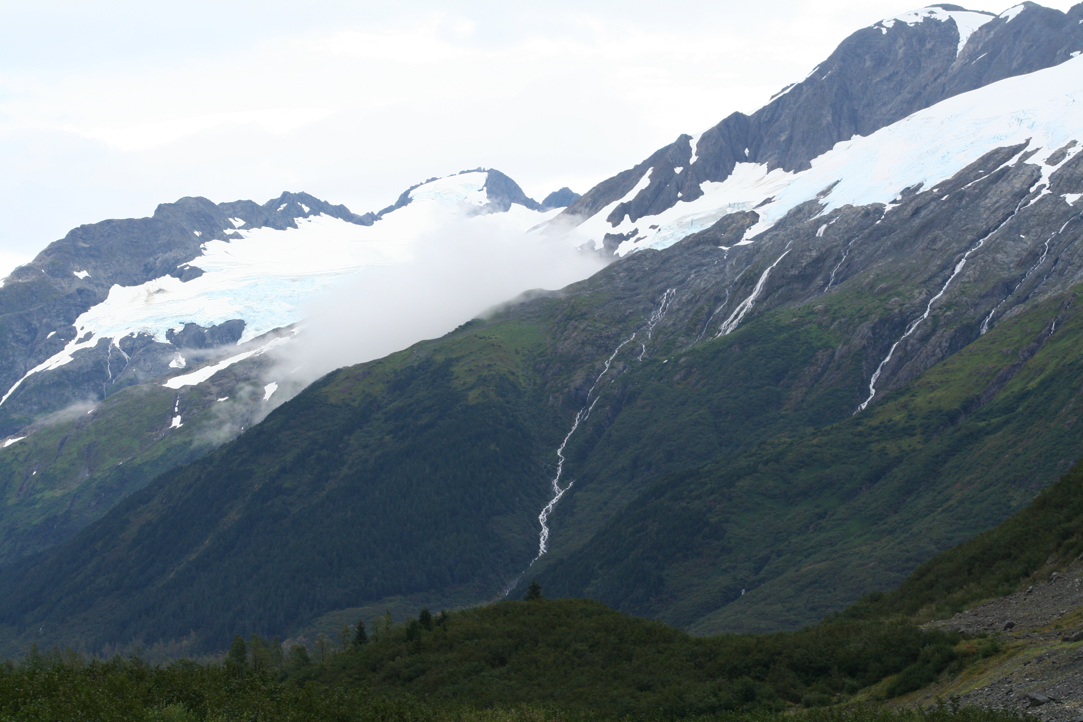
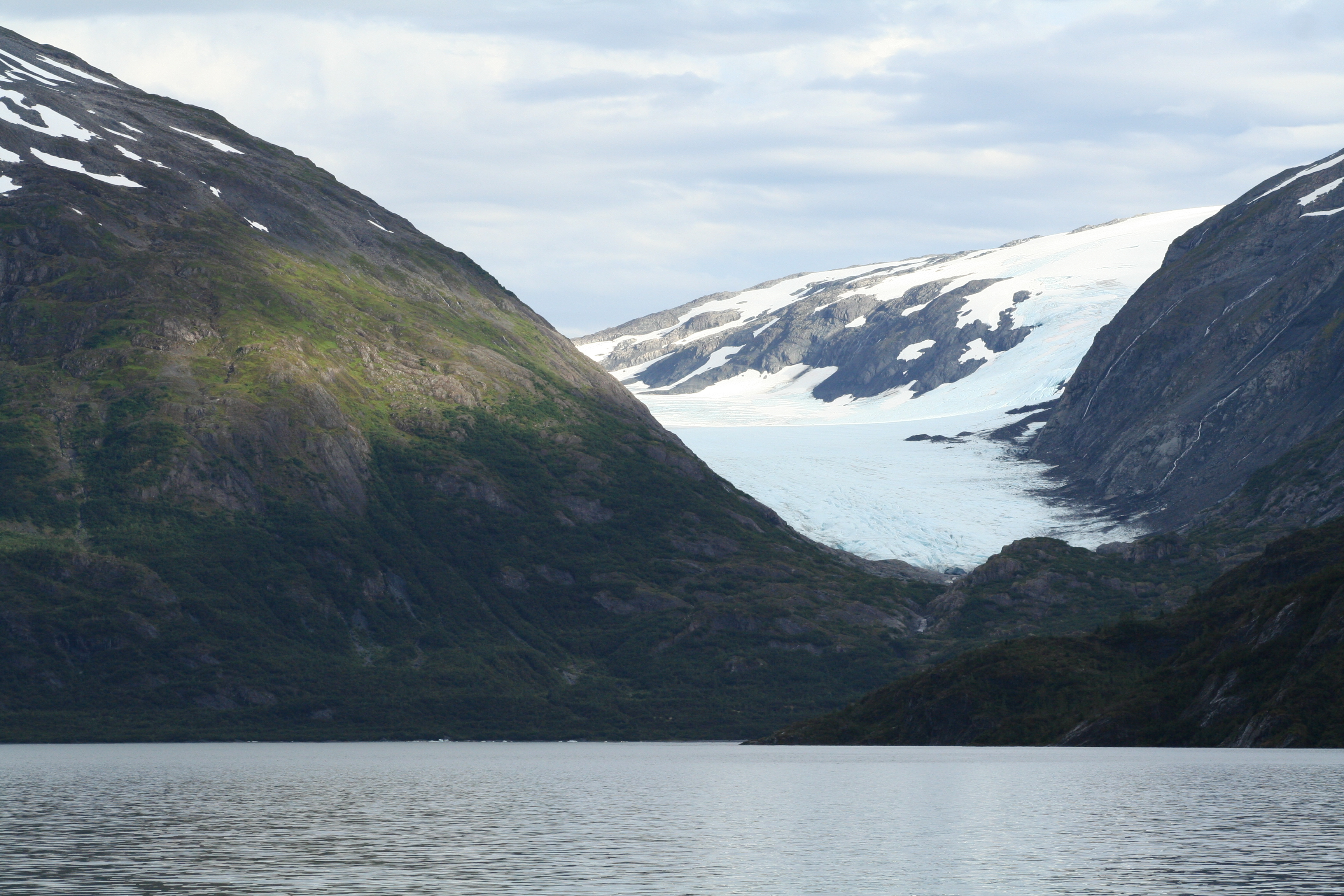
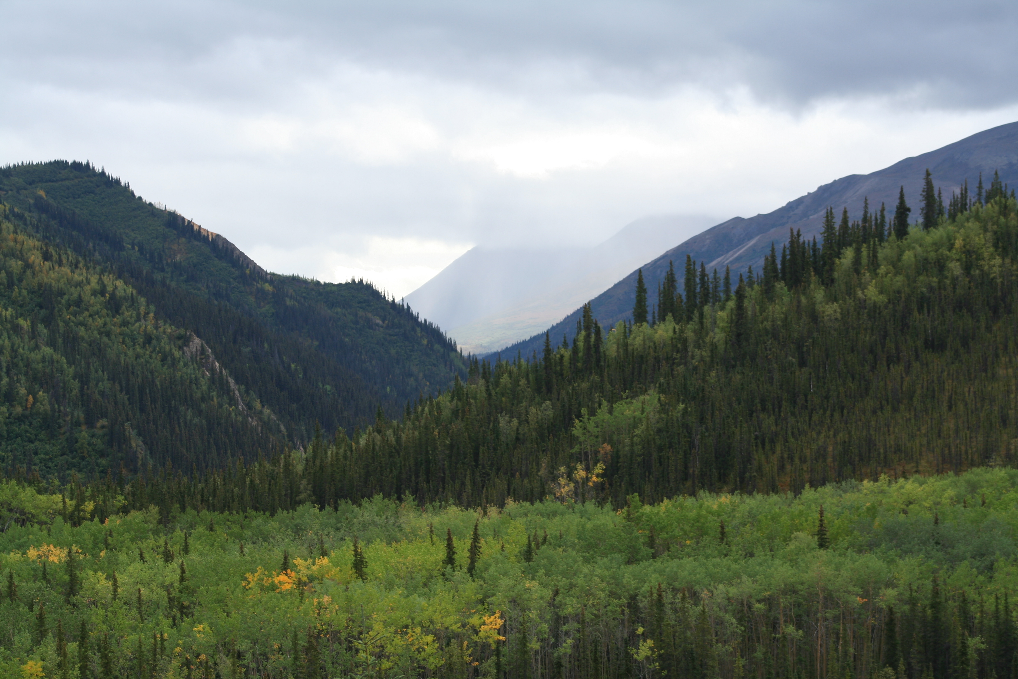
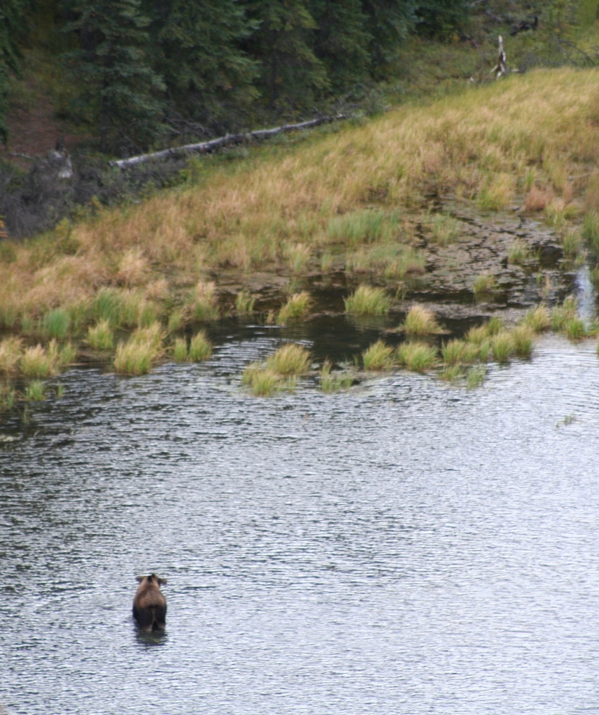
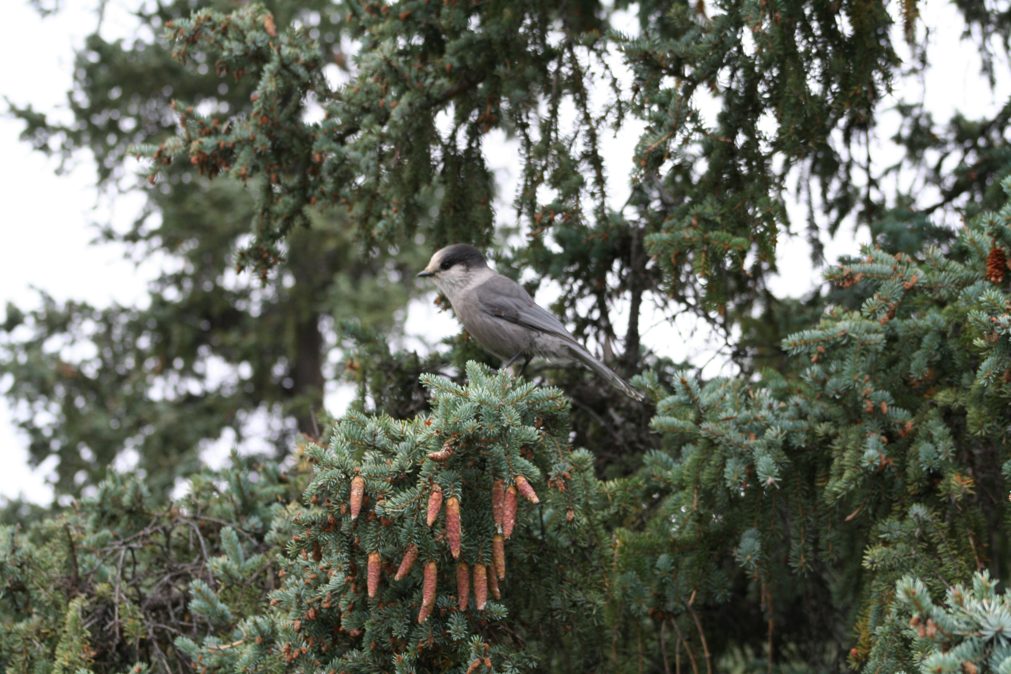
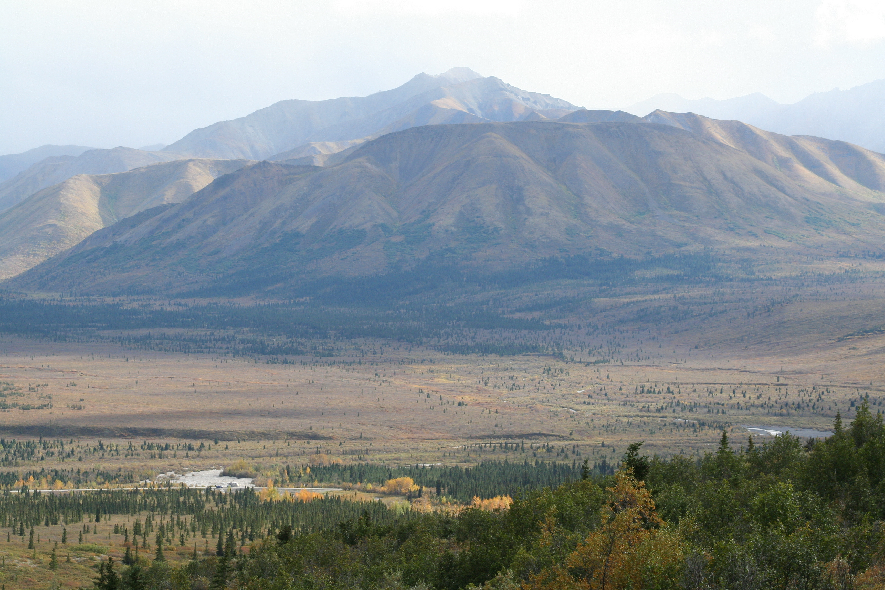
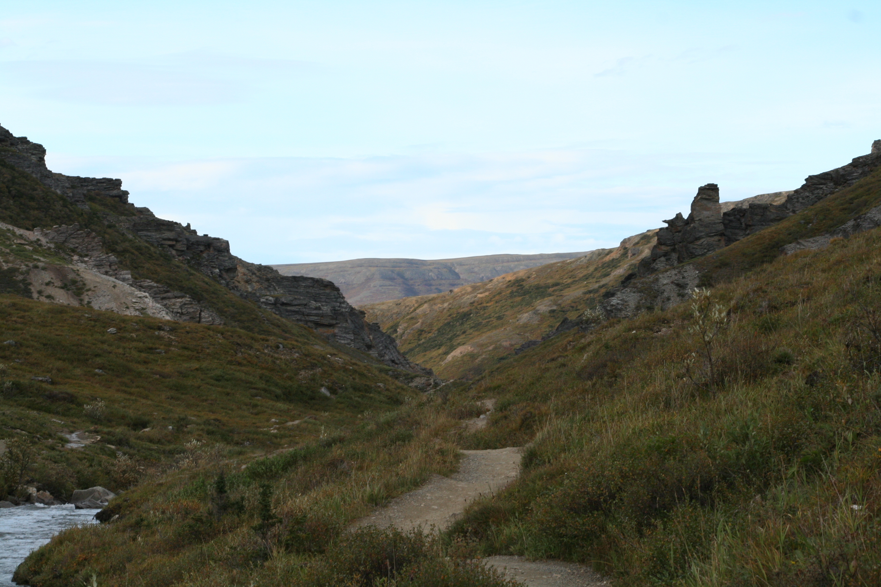
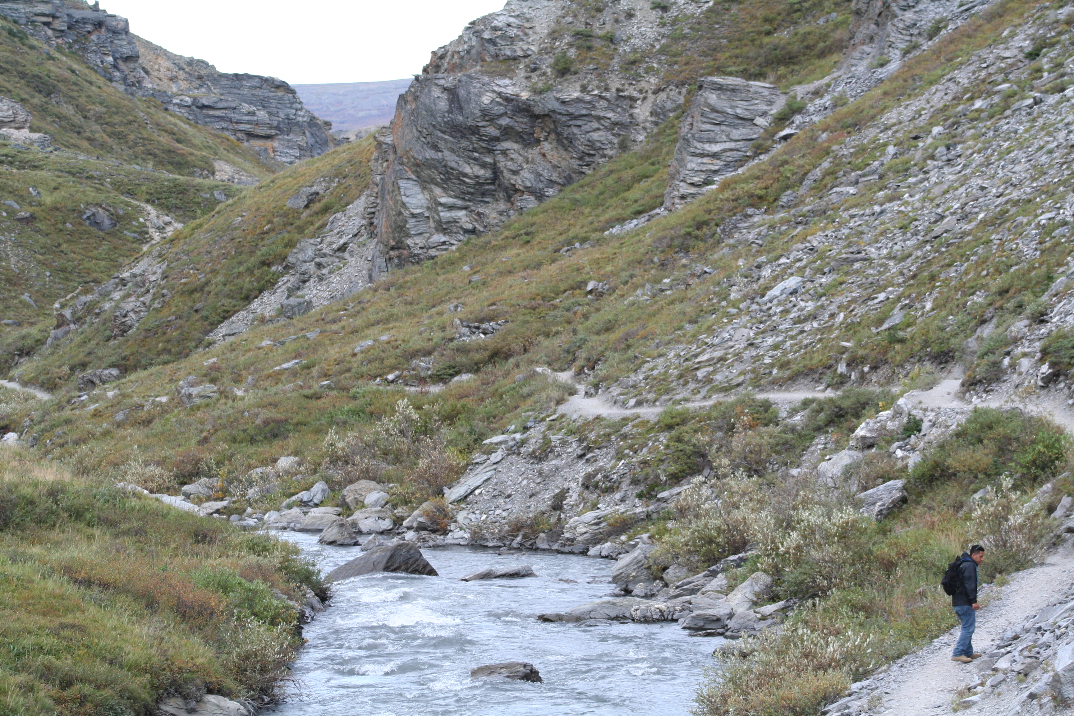
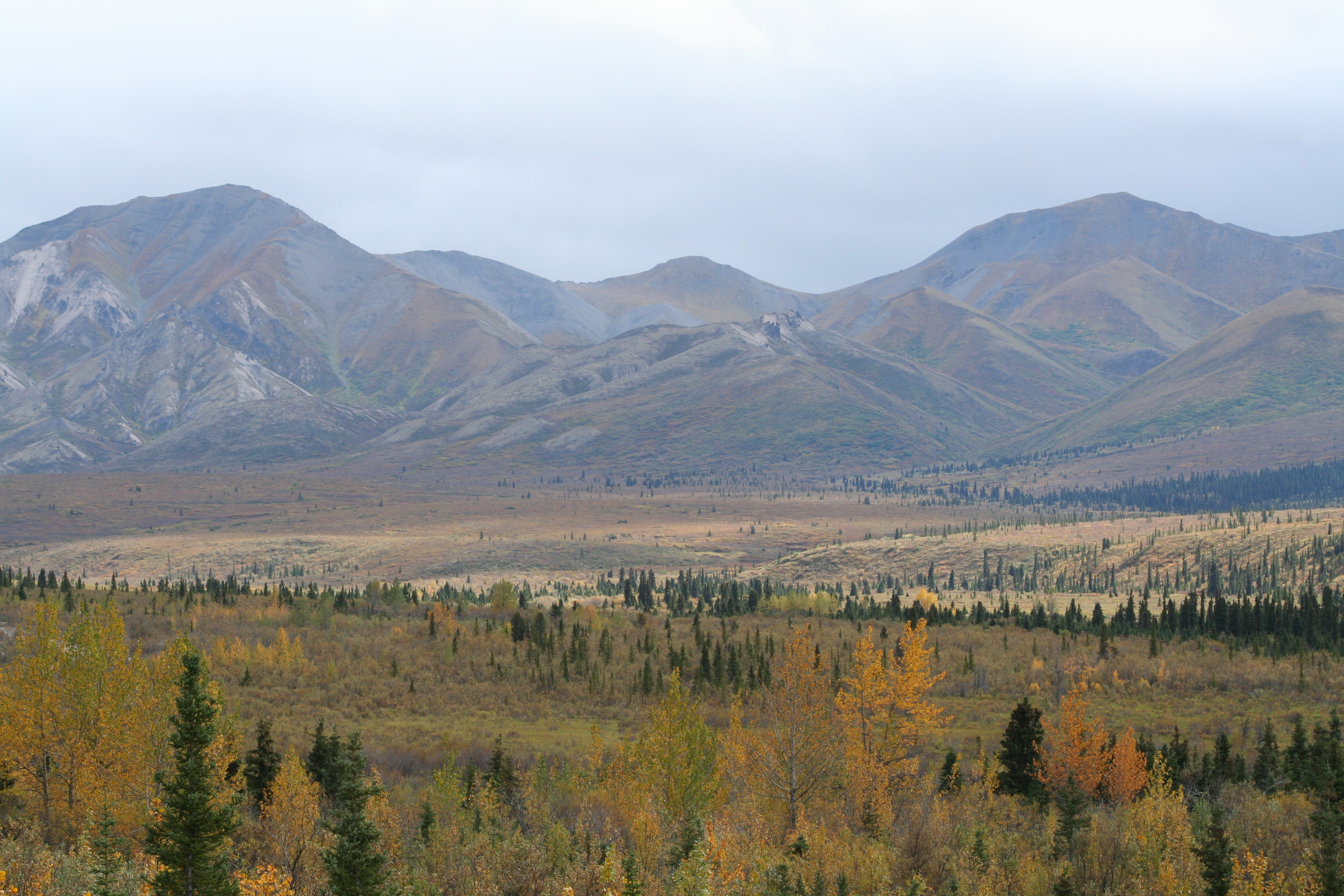
More pictures I just had to include…

Brother provided for scale of the massive rock
I believe this was the “goat rock”
Another great view from Mt. Nebo
Mt. Nebo sunset
Waterfall at Lost Valley
Natural bridge at Ha Ha Tonka
Ha Ha Tonka overlook

Sandrock Cliffs Trail

In an effort to explore more of the day hikes around the area, we set off on one hot muggy weekend to the Sandrock Cliffs Trail. This trail is part of the Saint Croix National Scenic Riverway, which borders most of the Saint Croix river. There are many state forests and state parks in the area, since this is such a scenic area with many recreation opportunities. The subject of one of my previous posts, Governor Knowles State Forest, is just across highway 70 from the trailhead.

Sandrock Cliffs Trail

Part of the National Park System

Located ~1 hour 20 minutes from the Twin Cities

screen shot 2019-01-20 at 6.00.11 pm
Map of the trail and surrounding area, courtesy of NPS

The Sandrock Cliffs Trail is centered around the Sandrock Cliffs Campground. There is a loop trail on each side of the campground, which when done together gives you a five mile round trip hike. Given that the weather was so hot, we parked at the Highway 70 Landing and figured we would do the three mile loop at least and then if we were up for it we would do the two mile loop. There was nice signage at the trailhead, which gave clear guidance on how long each of the sections are. They also had maps available at the trailhead.

lzoaqpufrc6itqubbtp2rq
Trail signage at the Highway 70 Landing / Parking Lot

As we headed out on the trail, we quickly discovered that this was a trail that offered a lot of variety in terms of trail conditions and what the surroundings looked like. There were parts where the trail was wide and other where it was narrow. Parts where there was a pine needle floor and others where we were walking through puddles. There were sections with views of the river and sections that seemed to be in densely packed woods.

z4nltztosrqkab7gqebuug
Nice trail section with the river to the left

As you get towards the campground there are some cliffs overlooking the water. I’m assuming, this is the feature that gives the trail it’s name. As we approached the campground, we decided to hike the two mile loop before heading back to the car. Although, it was quite warm, most of the trail was in the shade and we were getting a nice breeze off the river that was helping to keep us cool. We’d also recently discovered some new bug repellent and were enjoying how effective it was since the summer had been so buggy and full of ticks.

itmfqxzsr0c2ykzssryolw
The cliffs overlooking the river

On the two mile loop there is a riverway campsite that can be used for those canoeing or kayaking down the St. Croix River, the main form of recreation in the area. Since the site was to be used for canoe or kayakers it had steps down to the river, we used this spot to relax and eat a few snacks while being close to the river. The campsite was very open to the river and there were no trees to give shade. There was a latrine hidden back in the woods that was quite close to the campsite, which was nice that the camper wouldn’t have to go all the way to the campground to use the facilities.

xyc5slwmtnybhb8%pgjvmw
The river campsite, the river was a little high at this time

As we headed back towards Highway 70 Landing we were on the side of the loop that went through the woods rather than along the river. This gave us some different views, again going through some pine woods, some areas that looked like they had been blown down, and some fern filled woods areas. Although this section was a little hotter since we weren’t getting the breeze from along the riverbank.

4mwvorkvqtyhdqlw4bwydw
Lots of ferns along the trail!

When we got back to the trailhead there were a few more people in the parking lot, which is nice to see more people enjoying the river and trail despite the heat. Reflecting on the hike, it was a nice length day hike for a day that you’re looking to get a few more miles than just a casual stroll. Across Highway 70 there is the St. Croix Family Campground, which is part of the Governor Knowles property, and this would be a good day hike option if you were spending the weekend camping there.

Until next time!

Signature

More pictures I just had to include!

bapf9mmkttk6dwqpmg3uog
First section of trail, lots of greenery on either side of the trail

ank0n3pjryee630b5s6kiw
Very wet section of trail with standing water

d+sufmzbsp2+ikugkhb9ia
Nice view of the river through pine trees

paxsgecltqszxlf%iy1hhw
On the loop back to the trailhead, a pine section

cttvw8tass2trytjocma.jpg
Almost neon orange mushroom!

hkmxdeqzqrkqzl0uv3bpca
This is the section that looked like there was blow down here

hhonperktzcqcaz5vcrn3q
Another nice section of trail on the way back to the car

Acadia National Park

The last leg in the Canadian trip – Acadia National Park! We headed to Acadia directly from Fundy National Park, so we had to deal with crossing the border and a long drive. But we would be staying in Acadia for two days before heading to Portland, ME to fly back to our real lives.

Acadia National Park

Part of the National Park System

~ 3 hours Northeast of Portland, ME

Acadia National Park
Map of Acadia National Park from AcadiaMagic.com

We made pretty good time considering all the hiking we did in the morning before heading to Acadia and arrived around dusk. Thankfully this gave us enough time to get checked in, find our campsite, and get set up before dark. We were staying at the Seawall campground, which is on the less popular side of the park called Southwest Harbor. As the name hints at, the campground is just across the road from the ocean and you could hear the ocean from the campground. The park ranger also told us, as we were checking in, that we had one of the best campsites in the park.  Such a cool way to end the trip. 🙂

IMG_3413
Our giant campsite, Loop B site 27

We relaxed at camp for a while and ate dinner, enjoying our large and very private campsite. As night fell we decided to head over to the beach as the park was having a star gazing party that night. There were plenty of people at the beach and the park had some glow sticks for people that didn’t have flash lights. Unfortunately, the stars didn’t want to show themselves that night and just hid behind the clouds. It was our first time trying out one of the ranger programs at a park, and although the skies didn’t cooperate, it was a great experience and is something we’ll continue to do in the future.

IMG_5267
Views of the Atlantic from Thunder Hole

The next morning, we got up early and wanted to do the park drive loop before it got too busy. Acadia is a little different than most parks that there is private land / towns interspersed with all of the park land, so the park road has some town traffic and tourists. We drove over to the Hulls Cove Visitor Center, which is on the opposite side of the island from our campground, but is the official start of the park loop road. We went clockwise around the park road loop, hitting sites like Thunder Hole and Otter Point and stopping at the many pulls offs along the way.

IMG_5282
Views of Jordan Pond and North and South Bubble Mountains

After completing the park loop, we decided to hike the Jordan Pond loop and walk around Cadillac Mountain before locating lunch. Jordan Pond loop is a 3.3 mile hike that is pretty easy stroll with the exception of some boulder scrabbles on the western side of the loop. There were a lot of people out at this point, but the trail still wasn’t overly crowded. There are some great views of the surrounding peaks from the trail, not to mention the clear pond water. After completing the loop we drove up to Cadillac Mountain and did the loop around the peak. We found where all the other tourists were, but rightly so, the views from Cadillac Mountain were spectacular. We hung out up there for a while, enjoying all the views despite the wind that never seemed to stop.

IMG_5287
View from Cadillac Mountain

It was lunch time and what better thing to eat in Maine than lobster, so we were on the hunt! We ended up eating at C-Ray Lobster and we were not disappointed, we got the Lobster Dinner for Two, which came with lobster and mussels. All of the seating is outside picnic tables and the day was beautiful, so we relaxed for a while after finishing our meal. On our way out we decided to get a lobster roll and clam chowder for later because the food was so good.

IMG_5298
Bass Harbor Head Lighthouse

Before heading back to camp for the night, we went on one last hike on the Southwest side of the harbor. First we went to Bass Harbor Head Lighthouse, which is just a park and look attraction. It is still a functioning lighthouse, there is actually a couple living there, so they limit how much you can view for their privacy. We then went on to hike Ship Harbor trail, which is a 1.3 mile loop that goes along the opposite side of Ship Harbor from the lighthouse. The extreme tidal range also effects this area, as we were hiking the mudflats of the harbor were disappearing as the ocean was coming back in. This trail was very quiet, I think we only saw two other groups and it was nice to be able to sit on the rocks at the coastal end of the trail and just stare out at the ocean. The Atlantic Ocean is darker and moodier than the Pacific, there’s something about it that just draws you in.

IMG_5307
Views of the ocean coming back into Ship Harbor

Back at the campsite, we enjoyed our last night camping of the trip. We had another day before flying back, but would be heading over to Portland because we had an early morning flight. We enjoyed the beautiful night and reflected on what a great trip we’d had and all the things we wanted to come back to explore more. Similar to our Alaskan trip, we had found some areas that really spoke to us and we’ll definitely be back!

Until next time!

Signature

IMG_5304
Section of boardwalk on the Ship Harbor Trail

IMG_5285
The section of trail that required some scrabbling to get through

Devils Tower National Monument

On day two of the westward trip, the crew headed to Devils Tower National Monument on a Friday morning. We were eager to get over there because we knew we wanted to camp there for the night and they do not take reservations. There is a KOA campground right outside the park, but that is definitely not our type of campground. I had been here one other time and there campground definitely left an impression on me.

Devils Tower National Monument

Part of the National Parks System

~1 hour from Spearfish, SD in WY

Luckily we arrived around 11 am and there were plenty of campsites still available at Belle Forche campground and specifically the nice ones with a view of Devils Tower and the river across the prairie for which the campground is named. We relaxed for a little bit after being in the car for an hour or two before deciding to put up our tents and then get on with our day. The sites are plenty big within the campground, although you can easily see your neighbor there is enough room in between the sites to make it seem like you have some privacy and enough room for two tents.

Screen Shot 2018-01-27 at 12.16.07 PM
Map of Devils Tower & the surrounding area

After we got our tents set up we decided to head to the Visitors Center and do the hike around the base of the Tower. The Tower Trail is a 1.3 mile loop around the base and is an easy hike once you get up to the trail from the parking lot. The Tower is a religious site for Native Americans in the area and you can often see fabric hanging from trees along the trail, there are signs along the trail that detail why this is being done. Throughout the hike the Tower looks a little different as you get different views of it and there are also views of the surrounding valley that are good spots to take a rest and enjoy the view.

IMG_4810
At the start of Tower Trail

This trail can be pretty busy depending when you go, since it is the main attraction at the monument. The Visitor Center for the park, as I mentioned above, is at the trailhead for the Tower Trail, which also can cause the parking lot to be more jammed up than the trail. There are also a number of longer, less frequented trails, that lead off from this parking lot as well. The Red Beds Trail, which connects with the South Side Trail connect the campgrounds to the Tower trail / parking lot, would be a good option if you’re looking to get some extra exercise and you’re camping at the monument like we were.

IMG_4819
Pine trees surrounding the base of the Tower

After our walk on Tower Trail we headed back to the campground and relaxed for the rest of the day, enjoying the scenery. We ended up going out to dinner because we were running out of food in our coolers and the general store at the entrance didn’t have enough for us to scrounge together a meal. There is (was?) a restaurant and gift shop on Highway 24, not far from the park, that we went to. It doesn’t show up on the few internet searches I did, but if you happen upon it the food was decent and was a nice option that was very close to the park. After dinner we went back to the campground and had a fire. You get the wood by putting some money in a container and taking as much wood as you would like. It didn’t seem like anyone was taking advantage of the offering and it was nice because you didn’t have to rely on a camp hosts specific hours to get wood.

IMG_4823
The Tower is in view from the campground

The next morning we packed up and headed back towards the Black Hills to do some more sightseeing, it was Saturday so we were a little nervous about the crowds. I won’t do a separate post on that because we did a lot of jumping around, but we did drive through the Black Hills on the Needles Scenic Byway, the Custer State Park Wildlife Loop, and the Iron Mountain Road. The Needles drive was the busiest of all three and the Iron Mountain Road is in my opinion the most underrated of the three. We also stayed the Horsethief Campground, which is the closest campground to Mt Rushmore National Memorial. This was actually one of the only campgrounds where we could find an open site and it was a beautiful campground, not very private, but perfect for a quick stopover. Lastly, we also went to Mount Rushmore right before dusk and then a smaller contingent went again in the early morning (your pass is good for seven days after purchase and they open at 6 am) to get one last viewing in the bright daytime sun.

All in all, there is so much to see in this corner of South Dakota / Wyoming that you could easily spend a week exploring. I’m sure we’ll be going back sometime to explore more of the Black Hills and maybe do some backpacking 😉

Until next time!

Signature

Some other great pictures of the area:


IMG_4817
Another picture of Devils Tower

IMG_4838
Views from Needles Scenic Byway

IMG_4892
More views from Black Hills National Forest

Badlands National Park

Over Memorial Day weekend myself and the Fall vacation crew took a trip out to the Badlands and Black Hills National Forest. I had been to the Badlands National Park about five years prior for a brief stop on a two week camping trip and some of the crew had never been out this way before. We had lot on the docket to see in our five day trip – the Badlands, Black Hills Nat’l Forest, Devil’s Tower Nat’l Monument, and Mt. Rushmore.

Badlands National Park

 Part of the National Parks System

~1 hour East of Rapid City, SD

We started our trip early on Thursday morning to pick up the rental. We got a rental for this trip because we needed more space for all six of us and we were hoping to ride a little more comfortably since we would be doing a lot of driving. We were all glad for this decision later on.. as the driving and riding fatigue was setting in. From the Twin Cities this is a roughly 7 1/2 hour drive, so by the time we got there it was early evening.

IMG_4805
The first bison sighting in the park! They’re everywhere!

We wanted to stay at the Sage Creek Campground, so we bypassed driving through the whole park. The Sage Creek Campground is free, on the western side of the park, and there are no designated sites – just first come, first serve, and pick a spot. My brother and his kids would be meeting us out there, so we picked a site on the outer loop so there would be room for them when they arrived. There are picnic tables scattered throughout the area and we were lucky to get a space with one. We set up our tents and then proceeded to relax and wait for the bro. The road out to the campground is mostly gravel with bison throughout the area, so as it got dark we were getting anxious for their arrival. Thankfully they arrived safe and sound.

IMG_4807
First views of the Badlands on the Western side of the park

It was quite windy and sprinkled a little bit overnight, but thankfully the next morning the wind ensured everything was dry for us to pack up. We were continuing on to Devil’s Tower National Monument, but would be back to the Badlands on our way home. As we were packing up there were literally bison walking through the campground, which was a pretty neat experience and something that campground is known for. We took a short walk up to the top of a hill to get a good view of the area around the campground and then hit the road.

IMG_4806
Sage Creek campground with bison cruising through

On our way back home we drove through the Badlands for the more traditional park experience. We entered the park through the Wall, SD exit – yes, the Wall Drug exit that there are a bagillion signs for along the interstate – and then drove east through the park, eventually getting back on Interstate 90. There are plenty of pull offs along the park road to stop and take pictures, whether of the many prairie dogs or bison or the more rare bighorn sheep and pronghorns. The bison are more on the western side of the park and the bighorn sheep seem to be on the eastern side of the park.

IMG_4916
On the park road leading through the park, there are many pulloffs to stop & take pictures

The Badlands were actually formed by volcano ash and driving on the park road and seeing the many different views of the Badlands, you can really start to imagine that they look like ash. The fact that they just seem to pop out of no where in South Dakota, also is quite surprising too. There are a number of day hike trails throughout the park and also opportunities for backpacking, given the time constraints we were under we didn’t partake, but I would love to come back and do a backpacking trip.

IMG_4917

One could easily spend a few days in the Badlands, just camping and exploring the park. It’s also a nice jumping off point for other points of interest in the area, like the Black Hills or the infamous Wall Drug – see below for my list of interesting sights in the area, places I want to go to and those I’ve been to. One day I’ll come back for a more leisurely stroll through the park.

‘Til next time!

Signature

Other places to visit while in the area:

Black Hills – lots of hiking, camping or backpacking opportunities in the National Forest. Could dedicate a lifetime to exploring all this forest has to offer.

Wind Cave National Park –  I have never been, it was on our list of places to visit this trip and we never got to it. I like caves and that’s the main draw of this park. It’s also said that their campground usually has sites open when others in the area are booked up. I will be going here sometime.

Jewel Cave National Monument – I have never been here either, but I like caves and it’s a National Monument.

Mount Rushmore National Memorial – need I say more? I have been here. I would suggest going during the week, this place gets very busy on the weekends, more so than all the others listed.

Devils Tower National Monument – the subject of the next post, I’ve been here and love it and would go back again! This monument is a little off the beaten path of the Black Hills / Mt Rushmore hubbub, but that’s part of the appeal.


Joshua Tree National Park

As you may have noticed on the blog, I have a love for all scenery that is green and lush, so this was a trip that was definitely out of the ordinary for me. It was almost hearkening back to the Westward trip I took with my mom years ago and the time we spent in Utah and New Mexico. But I must confess that there is something beautiful about the dessert, maybe it’s all the different types of cactus or the huge rocks everywhere.

Joshua Tree National Park

Located ~2 hours from Los Angeles, CA

Part of the National Park System

I was in LA for the weekend and had to get my outside fix while there and Joshua Tree happens to be the closest national park to LA, so headed over there on a Friday afternoon. We got out there a little late (around 11 am) because we were busy packing up our snacks for the day and filling up our Camelbaks to make sure we had enough water for the day. We entered via the Joshua Tree Visitor Center along 62 and were hoping to be able to make it down to the Cholla Cactus Garden and then exit via the Oasis Visitor Center. Given the time we arrived we didn’t make it to that itinerary exactly, what can I say – we were on vacation!

Joshua Tree NP
Map courtsey of NPS

Upon our entrance to the park, we stopped at the visitor center and got some maps. We were quickly informed that it was too late in the day try and make it down towards the Cactus Garden, so we re-routed our plan to focus on getting at least to Keys View and anything else would be an added bonus! One interesting thing to note, you do not pay your entrance fee at the visitor center because it’s located in town, you actually go up the Park road a ways and then get to the pay station. As we drove along Park Blvd we quickly started stopping along the side of the road to get out and look at some of the gigantic rocks. I now understood why the park ranger had told us we wouldn’t make it to the southern part of the park.

IMG_4674
Not long after the ranger pay station

As we turned on the road towards Keys View, we had to resist the urge to keep stopping and checking out the various turnoffs. The lot for Keys View was somewhat full being that it was a beautiful day in spring, but we were easily able to locate a spot to park. Keys View is really just an overlook of the valley below and the Little San Bernadino Mountains to the South, but it is definitely worth the drive. On a clear day, you get quite the view of the area and can even see some mountains with snow on them!

IMG_4679
The valley at Keys View

IMG_4680
View to towards the West – there is actually snow on some of the mountains!

Given all the people in the area, we moved on back to Park Blvd to continue on towards the Oasis Visitor Center. We passed a number of campgrounds along the way and drove through a couple. It’s definitely different than camping in the woods, but they were some pretty nice sites and made me want to come back when I had more time to spend the night looking at the stars.

Shortly after the Jumbo Rocks campground, we pulled into the Skull Rock picnic area that has the Skull Rock (imagine that) trail coming off of it. We were hoping since this was a smaller trail (about 1.7 miles), no overlooks, there would be fewer people. First we had our lunch at the picnic area, there are number of tables in the area and they were all empty when we got there. The trail goes around a number of large boulders and it’s quite breathtaking how large they are in the middle of the dessert. It is a relatively easy walk, especially on a cool day, which we were hiking at a relatively quick pace.

IMG_4681
First views on Skull Rock trail

We decided to head out on the Discovery trail, which is an offshoot of the Skull Rock trail towards another parking area closer to the Jumbo Rocks campground. This trail meets up with the Split Rock Loop trail, which is 2.5 mile loop. These two trails connect at Face Rock, which actually does look like a face(!), and since we were making good time and there were still few people we decided to continue on with the Split Rock Loop as well. Given that the Split Rock trail starts right across from the Jumbo Rocks campground, we encountered more people on this section of the trail.

IMG_4692
I thought this rock looked like it was eating the round one

The terrain on these trails is mostly level, although there is some up and down it’s not enough to get you worn out by any means. I think in the summer the issue would just be the sun given that most of this trail is completely in uncovered areas, besides for the few short sections passing between boulders. The total time was around four to five hours of casual paced hiking, so it was a good distance to stretch our legs as we were driving through the park.

IMG_4693

We continued our drive through the park, pulling over occasionally to check out various rocks or plants. Soon we were heading back north towards the North Entrance Station and exiting the park. After we got back on 62 and started heading back towards LA, we weren’t quite ready to give up the scenery so as we passed the Fortynine Palms Oasis trail we pulled in to check it out and get some last minute views.

The Fortynine Palms Oasis trail is a 3 mile out and back trail to an oasis. The day was quickly slipping from us, but we figured we hike around and see if we could get a view of the oasis (even if from a distance) before we had to leave. If we had planned this better, we could have brought our headlamps and done some night hiking since it stays dusky so long, the headlamps would have just given us a safety measure against tripping on some rocks.

This trail does have some of the sustained elevation gain in the park, only 300 ft, so it is not quite the leisurely stroll some of the other trails are, but very manageable. There were many switchbacks to even out the elevation gain and it didn’t get me winded too much (stupid desk job). As we were headed out, we passing many people headed back and they kept encouraging us onward, saying that there was a point in the trail that was high on a hill that we would be able to see the Oasis without having to get all the way there. We made this our goal. Although, there was one man that passed us up as he was running to try and see the Oasis before dark. As we got to the overlook, we sat on some rocks and had the rest of our snacks and drank in the view of the Oasis and the surrounding ridges. We also were able to see the sunset and get some nice views, there were a decent number of people gathered in the first part of the trail to get views of the sunset, as well.

IMG_4702

We eventually headed back to LA and I had some great memories of the dessert to carry with me.

Cactus catalog of photos:

IMG_4685
Beavertail Pricklypear

IMG_4686
Teddybear Cholla

IMG_4687
Pencil Cholla

IMG_4691
Dollarjoint Pricklypear

IMG_4699
Maybe a California Barrel Cactus or Cottontop Cactus

Until next time!

Signature

Effigy Mounds National Monument

Effigy Mounds National Monument is located in the northeastern corner of Iowa and it’s a park we frequented when I was a child on our “day trips”. What can I say.. growing up on a farm there isn’t much time left over for extensive vacations, so local trips were better than nothing! It was also nice because we got to learn more about the area that we lived in, the Driftless area of Wisconsin is pretty unique and worth checking out if you don’t know about it already.

Effigy Mounds National Monument

Located ~10 minutes from Prairie du Chein, WI

Part of the National Parks System

For Opt Outside day this past year we opted (hehe) to take the drive to Effigy Mounds, the BF had never been and we needed to do some walking before all the turkey we consumed the next day. It was a pretty dreary day and that time of year (fall) everything is pretty brown, but that’s where the bluffs make up for things. Effigy Mounds actually contains a number of different mounds in the shape of animals to circles that were used by Native Americans as burial and ceremonial sites. If you’re into history or cultural history this is definitely something worth checking out so you can learn more about the mounds and experience it first hand. Also worth mentioning, this park is FREE all year round. It can get pretty busy during the summer, but in the off season you will often be alone during your hike.

The park is actually pretty narrow as it goes north to south along the bluffs that border the Mississippi River. There are roughly 12 miles of trail, seven miles that go north of the visitors center and four miles that go south. The northern route seems to the most popular as there are more mounds that are clustered together and I believe the guided tours also go this way. I have never actually been on the southern trail, but this is on the list for next time we visit.

Effigy Mounds National Monument
Northern trail map courtesy of the NPS

As I alluded to, we opted for the northern route this time. As the BF had never been to this park before and we wanted to show him the cool stuff we knew was up that way. This hike is sometimes rated intermediate to difficult and other times rated as easy, I think the inconsistency has to do with how difficult people think the first hill is. The Visitor Center is in the valley near the river and in order to get up on the ridge top you quickly ascend after exiting the visitor center. After you get up on the ridge the hike is fairly easy.. that is, if you make it to the top of the ridge. There are switchbacks and they do have benches where you can sit and rest, but I can see how this would quickly deter people from continuing on with the hike.

fullsizeoutput_1497
First overlook at Eagle Rock & Fire Point

Once up on the ridge, you can pick and choose what overlooks you want to go out to or depending on how much time you have. A lot of the big clusters of mounds are early on in the hike, so you don’t have to hike too far (after you get up the hill) to be able to really experience all the different mound types. There are also pretty good views from most of the overlooks and you can see different vantage points of the river and the valley below. On this trip we didn’t make it all the way to Hanging Rock (the northern most cluster of mounds) because I had some sort of sickness and was not feeling up to it.

IMG_4636
I think this is the view from Twin Views

I’ve also been to this park in the summer and the trail has adequate cover from the trees, another plus is that because it’s on the ridge top there is a often a nice steady breeze that isn’t present in the valley. Overall, this is a great day hiking opportunity and a free way to learn about some history of the region as well.

IMG_4635
Wide & well maintained trail

Until next time!

Signature


Kenai Fjords National Park

Admittedly this was probably the event that I was most excited for on our trip, we were taking a boat tour for roughly eight hours of Kenai Fjords National Park. The park is pretty much only accessible via boat and I had somewhat splurged on getting one of the longer, more immersive tours. I was slightly worried that I would be disappointed or that the tour would seem too long, but I wasn’t disappointed in the slightest. As the boat pulled into the Seward harbor after our tour I was actually sad it was already done. But I’m getting a little ahead of myself.

Kenai Fjords National Park

Located 2 hours 20 minutes from Anchorage, AK

Part of the National Park System

Our tour was scheduled to leave promptly at 10 am with a check in an hour prior, we were travelling with the group Kenai Fjords Tours. We arrived in Seward around 8:15 am in order to get some coffee and check out the town, but also because we (I) were anxious to get over here and get the tour started. I imagine the town of Seward is very busy during peak tourist season, but thankfully that wasn’t the case as the boat tour season was winding down and largely ends in September.

img_5484
Beautiful harbor of Seward

We finally were able to board the boat around 9:45 am and snagged a seat on the upper deck. The day was somewhat windy, but it was sunny without almost any clouds in the sky. Our boat captain said that it was the first completely sunny day in almost a month and that we were in for a real treat since we’d get to experience the best views. As we chugged out of the harbor I was so excited and a little nervous (I don’t LOVE boats). The harbor is surrounded by mountains, so everyone was busy snapping pictures.

img_5506
Lots of spires throughout Resurrection Bay

As we left Resurrection Bay, I was struck by how beautiful the coast line is. Reminds me slightly of the North Shore of MN and WI, except everything is BIGGER. There are little coves and outcroppings all along the coast line and the water is so blue. The tour often takes different routes depending on reported sightings and the weather, so I don’t know the definite route we took. I was too busy taking pictures and absorbing all that was around me to keep track of our route on the screen inside the boat.

img_5521
That white speck on the top is eagle

Very quickly we were spotting eagles and trying to spot humpback whales, which we were able to spot a few but they disappear so quickly I didn’t bother trying to take any pictures. We also saw many sea lions, harbor seals, puffins (they were sooo cute), mountain goats, sea otters, and so many other birds I couldn’t keep track of all the different types. It was surprising how many animals you could see from the boat, especially considering many times we didn’t even get that close to the coastline.

img_5539

Soon we were approaching the Holgate and Aialik Glaciers. I’m not sure what I was really expecting, but they were massive and the air around the glaciers was markedly colder than other places. We spent the most time in front of Aialik Glacier because it went all the way down into the water. We got pretty close to it and just sat there, everyone seemed to be in collective awe. The glacier from time to time was calving off pieces into the water. It’s hard to believe that one day there might not be any of these giants left given how large they are, even though they used to be much more substantial. At this point the tour guide discussed how this area will change when (mind you, he said when, not if) these glaciers disappear. He did a great job informing, but not preaching. I think we all left a little sad at the inevitableness of these changes.

img_5586
Aialik Glacier was huge and so blue!

We headed towards Fox Island, where we would be having dinner, and just enjoyed the boat ride and the nice weather. Stopping a few more times to marvel at animals along the shores, we made it to Fox Island a little late. The tour we chose came with a dinner afterwards and we were thankful we picked it because we were surprisingly hungry, must have been all that sea air :). After dinner we hung out on the beach of Fox Island for a while, just enjoying the surrounding splendor.

img_5640
Ugh, just beautiful

After we got back to the harbor we explored the town of Seward a little more and stopped at a few gift shops. As we were leaving the boat and walking around town I started to get the bittersweet vacation feeling, enjoying yourself so much, knowing it’s coming to an end, and not knowing when you’ll be back. Just had to remind myself to be grateful for the experience, especially being able to go on this tour on such a beautiful and clear day. This was a trip I will always remember, as a nature lover this was such an overwhelming and beautiful trip.

More pictures I just had to include.. need I say more?

img_5517
The white speck an earlier picture

img_5555
Puffins!!!! 🙂 🙂

img_5541

img_5620
The otters were waving “hello”

img_5534

img_5545
I think these are the sea lions, basking in the sun

img_5566
Aialik Glacier as we were leaving

img_5624
I believe these were habor seals, that guy is giving us quite the glare

img_5629
Mountain goat!!

Until next time,

Signature

Chugach National Forest

We drove from Denali to Chugach National Forest, which is south near Seward. The drive was about five hours and by the end of it we might have been getting a little crabby with each other. But the views were great. Unfortunately as we were leaving Denali it was raining (again) and we didn’t get to see the Denali peak, just means we’ll have to be back again when it’s not the rainy season. Enough planning the future, back to Chugach!

Chugach National Forest

Located ~1 hour from Anchorage, AK

Part of the National Forest System

As we were driving down the 1 and entering the Turnagain Arm of the Cook Inlet, the views started changing with water on one side lined by mountains with lots of trees. I imagine this is what the fjords of Norway look like.

img_5431
Excuse the clouds in the way of the moutains

Before entering the forest we stopped at the Forest office in Alyeska to pick up some maps. We were arriving around 4-5 pm in the afternoon, so I talked to the ranger about what campgrounds she thought would still have sites available. We had originally hoped to stay at the Primrose Campground, which is at the southeastern end of Kenai Lake, because we were going on a boat tour of Kenai Fjords National Park the next day and the campground was only 20 minutes from Seward. The ranger said that there was bike race of some sort happening that weekend, it was Thursday, and she thought most of the spots would be taken and it would be rather crowded and busy even if we could find a spot.

img_4418
Bertha Creek Campground

Given the quickly disappearing day and since we still wanted to get some hiking in that day, we decided to camp at one of the campgrounds that were on the northern side the forest. We stopped at a few campgrounds – Granite Creek, Tenderfoot Creek, and Bertha Creek – before settling on Bertha Creek, which has great views of mountains and was completely empty. We set up our site and paid at the self service station.

After that was complete we headed back towards the entrance of the park to hike the Byron Glacier Trail. The trail is about a mile long, but end rights at the edge of a glacier. Depending on the time of year the glacier extends farther into the valley, since we were at the end of the summer the glacier had retreated up towards the top of the mountain. There were some remnants laying on the valley floor that the BF just had to go up to. We stayed at the base of the glacier for a while, it was the first either of us had ever seen, and it was just so large that it was mesmerizing. Not to mention that the mountains surrounding us were beautiful.

img_5466
So many little waterfalls from the snowmelt

This ended up being the only trail we hiked in Chugach, but we enjoyed it so much that over the weekend we brought the BF’s nephew, his wife, and daughter here to experience it as well. As we were driving back to Bertha Creek we stopped at the Begich, Boggs Visitor Center and gazed out at Portage Lake for a while, enjoying the last rays of sun before it went down (although it was still light out).

img_5480
Portage Lake

Back at the campground we ate another freeze dried meal and hung out for a little bit before going to bed around 10 pm, since we had to get up early for our cruise the next day. But that’s another story for another post :). We stayed at Bertha Creek the night after the cruise since we enjoyed it so much the first night and it was heck of a lot cheaper than a hotel room – only $14 per night.

After we came back from the cruise, we got some wood and had a nice fire. Given that it was Friday night there were a few more people in the campground, but it wasn’t full by any means. There were many more trails we had wanted to go on while we were in Chugach, like this one and this one, but we’ll just have to come back! This was a great place to visit and wasn’t quite as busy as some of the other tourist destinations and cheaper!

Until next time,

Signature

Denali National Park

Recently there has been some radio silence on the blog, my apologies for that! I might have been preoccupied by something – the trip we recently took to ALASKA, for a whole week! I’m going to have a few posts on here about the parks and forests we visited while we were there, hope you don’t mind the divergence from the Midwest!

Denali National Park

Located ~4 hours from Anchorage, AK

Part of the National Park System

Denali was the first stop during our trip to Alaska because all the campsites were so booked up by the time I got around to reserving one (I know, I should have known) that the only sites left were in the middle of the week. Honestly, that was for the best because I feel like we were able to beat some of the day trippers that come up on the weekends. Our home base for our trip to AK was Anchorage, so we headed up to Denali on a Wednesday morning bright and early (for us).

img_5310
Along the early sections of the park road

We got to the park around noon and finally located the camper check in office after a few missed turns – the camper check in is at the Riley Creek Campground office. After that we headed straight to the Savage River Campground, since you can’t reserve a specific spot we wanted to be sure to there earlier to find a good one. Savage River is the last campground in the park that you can drive to and given that we were only going to be there for a day, we thought this would be best.

horseshoe-lake-trail-denali
From the Denali NPS Trail Map

After we got set up we headed back to towards the park entrance to hike the Horseshoe Lake Trail, which is roughly a 3.2 mile loop around Horseshoe Lake. We were excited to get on the trail after all of that driving and we were even more excited when a woman ran up to us as we were just getting on the trail and told us to hurry ahead because there was a moose in the lake just below the trail. We hurried over and got to see the moose wading in the lake. We continued on as it was already getting later in the day and we wanted to make the most of our time at the park.

img_5323
The first moose siting!

There were a set us stairs that lead down towards the lake and the small amount of elevation gain on this trail happens within those steps. I was not looking forward to coming back up as we were passing people that were panting on the stairway. As we got down towards the lakes there were some signs describing different things to look out for, which was nice since this is a pretty different environment than the Midwest.

img_5334
I believe this is a grey jay, there were lots of them posing for us

The trail was wide enough that we could pass some of the ranger led groups without a problem, but they were still small enough to not seem commercial. The walk around the lake is in the valley and you get nice views of the surrounding hills / mountains. We also were lucky enough to have a beaver walk within a few feet of us while carrying a branch, which was quite cool to see. Overall this was a great starter trail and the stairs did kick my butt a little, but it was enjoyable and worth the drive back to the front of the park.

img_5356
Great views at Horseshoe Lake

img_5363
The fast  moving (sorry for the blur) beaver!

After the trail we drove back towards Savage River campground, as we were driving past the Visitors Center we thought we would stop to pick up some trinkets and ended up eating at the slightly overpriced, but tasty cafe. Refueled, we drove back to the campground and parked and hiked across the road to the Savage Alpine trail. This was a longer trail, four miles or so one way, but we wanted to at least check it out since as the name describes it had alpine habitat. The elevation gain on this trail is significant, although it’s a pretty steady and slow climb throughout the trail, which made it more manageable. It started in the woods off the road and then climbed out of the trees into the alpine territory. After a couple miles we turned back since the day was quickly fading.

savage-alpine-savage-river-loop-trail
Savage Alpine & Savage River Loop Trails

img_5386
Views of the valley from the Savage Alpine trail

We got back to the camp and promptly got into the car to drive a short bit to the Savage River Loop trail – the Savage Alpine trail eventually connects up with this trail, but unfortunately the day was ending too soon. The Savage River Loop trail is a popular trail, it the last trail that you can drive your car to and it is an easy two mile loop along the Savage River (imagine that??). This loop really made us feel like we were in the mountains, the winds were buffeting us along the trail and the views were spectacular even though I felt like I couldn’t get a good picture of them.

img_5400
Savage River Loop

img_5405
The BF for scale of the mountains

After we were done with the trail we were hungry again and eager to try one of our freeze dried meals. I don’t have much experience with them, since we’ve always done car camping up to this point. On this trip we thought it would just be easier since we hadn’t brought all of gear beyond our stove and a pot to boil water. Maybe it was the hunger from all the hiking, but the food was pretty good and actually filling.

We got up the next day and headed out early, onto our next adventure Chugach National Forest! After another freeze dried meal we were on our way and only stopped briefly on the way out to watch a moose off the side of the road that was having his morning breakfast.

Until next time!

Signature

More pictures that I just had to include 🙂

img_5288
It was the start of AK’s fall

img_5355
The water was ridiculously clear

IMG_5407.JPG
The rocks were at an interesting angle